to the cable cars

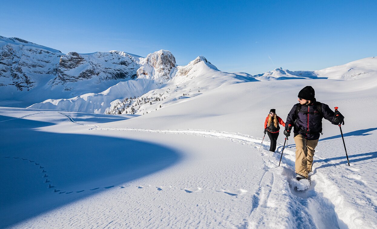
Snowshoe hike - St. Veit/ San Vito - Wöggenalm hut

Pragser Tal
Add to favourites
Category
Difficulty
Easy
Activity time
1:04
Duration in hours
Distance
2.5
Distance in km
Status
Closed
Suggested period
Jan
Feb
Mar
Apr
May
Jun
Jul
Aug
Sep
Oct
Nov
Dec

Easy excursion with amazing panorama over Croda del Becco/ Seekofel and Lago di Braies/ Pragser Wildsee.
Starting point: St. Veit/San Vito(1.332m) Arrival: Wöggenalm hut(1.627m)

Route info
Easy
Distance
2,5 km
Activity time
1 h 04 min
Ascent
309 m
Descent
10 m
Physical effort
Scenary
Highest point
1.700 m
Lowest point
1.389 m
public transportation

You can find all information about public transport on the website https://www.suedtirolmobil.info/en/

How to get there

Vallex entrance Braies/ Prags - road junction Lago di Braies/ Pragser Wildsee - continue until San Vito/ St. Veit.

You can find all the information you need about accessibility on the website www.prags.bz.


You might be interested in
Discover related tours
Valle San Silvestro/ Wahlen - Rifugio Lachwiesen | © © W.Schneider, Dobbiaco
Intermediate
Add to favourites
Toblach
Snowshoe-hike tour: Wahlen/San Silvestro - Lachwiesen hut
Distance 1,5 km
Activity time 1 h 30 min
Ascent 394 m
Descent 0 m
Status
Closed
Snowshoe hiking | © @TVToblach, Dobbiaco
Intermediate
Add to favourites
Toblach
Snowshoe-hike tour: Frondeigen/Franadega - Golfen/Monte Calvo
Distance 5,4 km
Activity time 2 h 30 min
Ascent 838 m
Descent 9 m
Status
Closed
Toblach
Snowshoe-hiking tour: Ratsberg/Monte Rota - Mellaten/Melate
Distance 3,5 km
Activity time 3 h 00 min
Ascent 251 m
Descent 75 m
Status
Closed
Sexten
Snowshoe: Schussriedl
Distance 5,0 km
Activity time 2 h 40 min
Ascent 345 m
Descent 345 m
Status
Closed
Pragser Tal
Snowshoe hike - Ponticello/ Brückele - Malga Rossalm/ Rossalm
Distance 4,8 km
Activity time 2 h 14 min
Ascent 666 m
Descent 0 m
Status
Closed
Pragser Wildsee - Kaserhütte | © Kotter Steger, Braies
Intermediate
Add to favourites
Pragser Tal
Snowshoe hike - Pragser Wildsee lake - Kaserhütte hut
Distance 3,2 km
Activity time 1 h 51 min
Ascent 555 m
Descent 113 m
Status
Closed