to the cable cars

Snowshoe-hiking tour: Höhlensteintal/Val di Landro - Baumgartner Kaser

Toblach
Add to favourites
Category
Difficulty
Easy
Activity time
1:45
Duration in hours
Distance
2.5
Distance in km
Status
Closed
Suggested period
Jan
Feb
Mar
Apr
May
Jun
Jul
Aug
Sep
Oct
Nov
Dec
The hike is especially recommended for beginners.

The easy snowshoe hike to the hut Baumgartner (closed) is particularly suitable for beginners as it is fairly short and not steep.

IMPORTANT: Before starting any ski tour/snowshoe excursion, you must check the weather conditions and danger avalanches report (https://avalanche.report), asking also experts (alpine guides etc.).


Route info
Easy
Distance
2,5 km
Activity time
1 h 45 min
Ascent
340 m
Descent
0 m
Physical effort
Scenary
Highest point
1.601 m
Lowest point
1.261 m
Directions

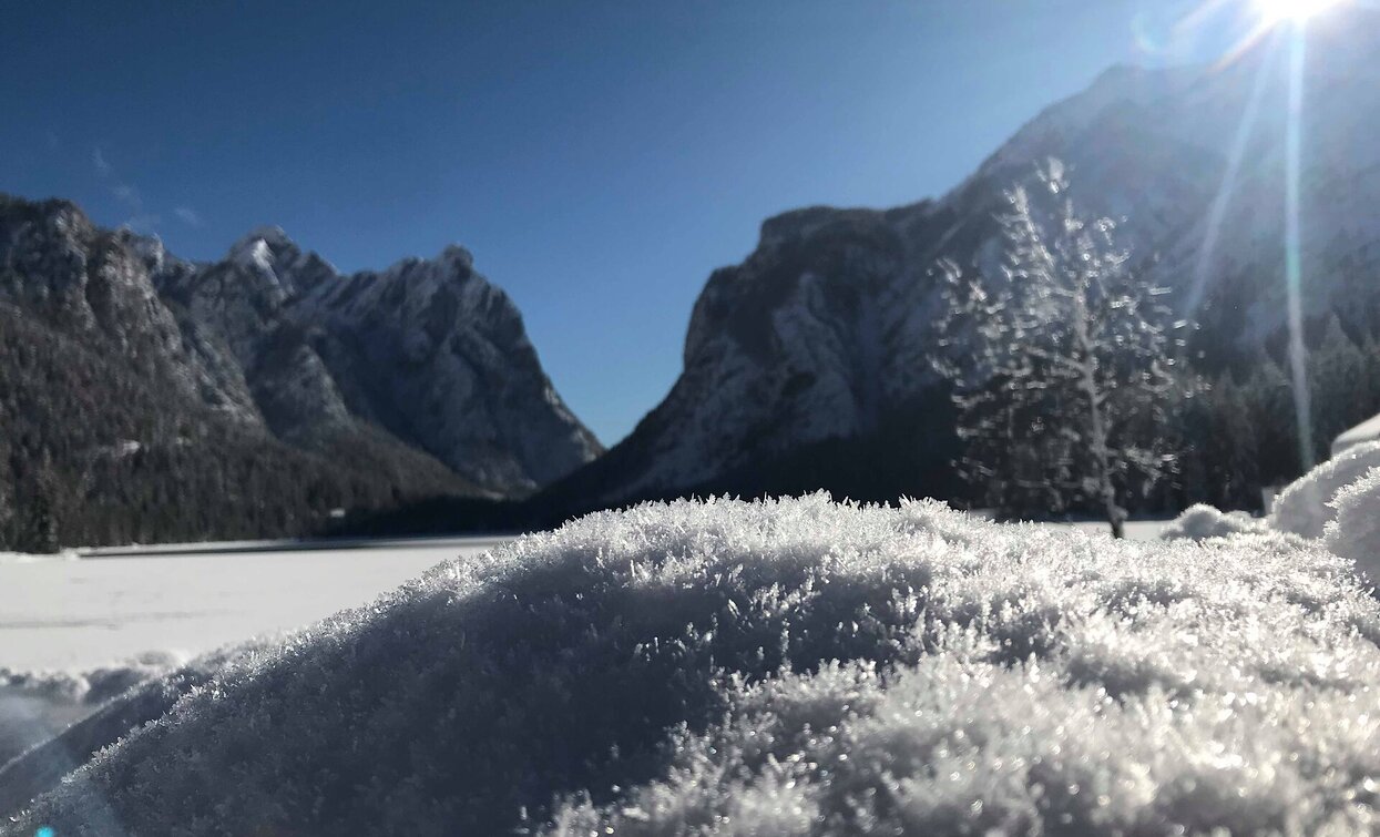
The easy snowshoe hike starts in the last bend befor the Toblach/Dobbiaco lake and leads along the path no. 28 B always slightly uphill through the snow-covered forest in a few bends to the hut Baumgartner .

public transportation

Accessible by public transport. The timetables are available on www.sii.bz.it.

How to get there

How to reach Toblach/Dobbiaco: https://www.drei-zinnen.info/en/dobbiaco/dobbiaco/contact-and-service/arrival-mobility.html

From Toblach in southern direction for 4 kilometre, on the left side.

Where to park
Parking places are available nearby.
You might be interested in
Discover related tours
Pragser Tal
Snowshoe hike - St. Veit/ San Vito - Wöggenalm hut
Distance 2,5 km
Activity time 1 h 04 min
Ascent 309 m
Descent 10 m
Status
Closed
Snowshoe hiking | © @TVToblach, Dobbiaco
Intermediate
Add to favourites
Toblach
Snowshoe-hike tour: Frondeigen/Franadega - Golfen/Monte Calvo
Distance 5,4 km
Activity time 2 h 30 min
Ascent 838 m
Descent 9 m
Status
Closed
Toblach
Snowshoe-hiking tour: View of the Three Peaks/Landro - Rienztal/Valle della Rienza
Distance 3,6 km
Activity time 1 h 30 min
Ascent 253 m
Descent 2 m
Status
Closed
Segheria - Suisridl | © @TVToblach, Dobbiaco
Intermediate
Add to favourites
Toblach
Snowshoe-hiking tour: Säge/Seghe- Suis pass
Distance 3,6 km
Activity time 2 h 00 min
Ascent 794 m
Descent 1 m
Status
Closed
Bonner Hut | © @TVToblach, Dobbiaco
Intermediate
Add to favourites
Toblach
Snowshoe-hiking tour: Kandellen/Gandelle - Bonner hut
Distance 3,9 km
Activity time 2 h 30 min
Ascent 711 m
Descent 0 m
Status
Closed
Toblach, Innichen
Snowshoe hike: Ristorante da Kathi/Gasthof Jaufen - Cappella San Silvestro/Silvesterkapelle
Distance 8,3 km
Activity time 2 h 45 min
Ascent 431 m
Descent 431 m
Status
Closed