to the cable cars
Top

Snowshoe-hiking tour: Kandellen/Gandelle - Bonner hut

Toblach
Add to favourites
Category
Difficulty
Intermediate
Activity time
2:30
Duration in hours
Distance
3.9
Distance in km
Status
Closed
Suggested period
Jan
Feb
Mar
Apr
May
Jun
Jul
Aug
Sep
Oct
Nov
Dec
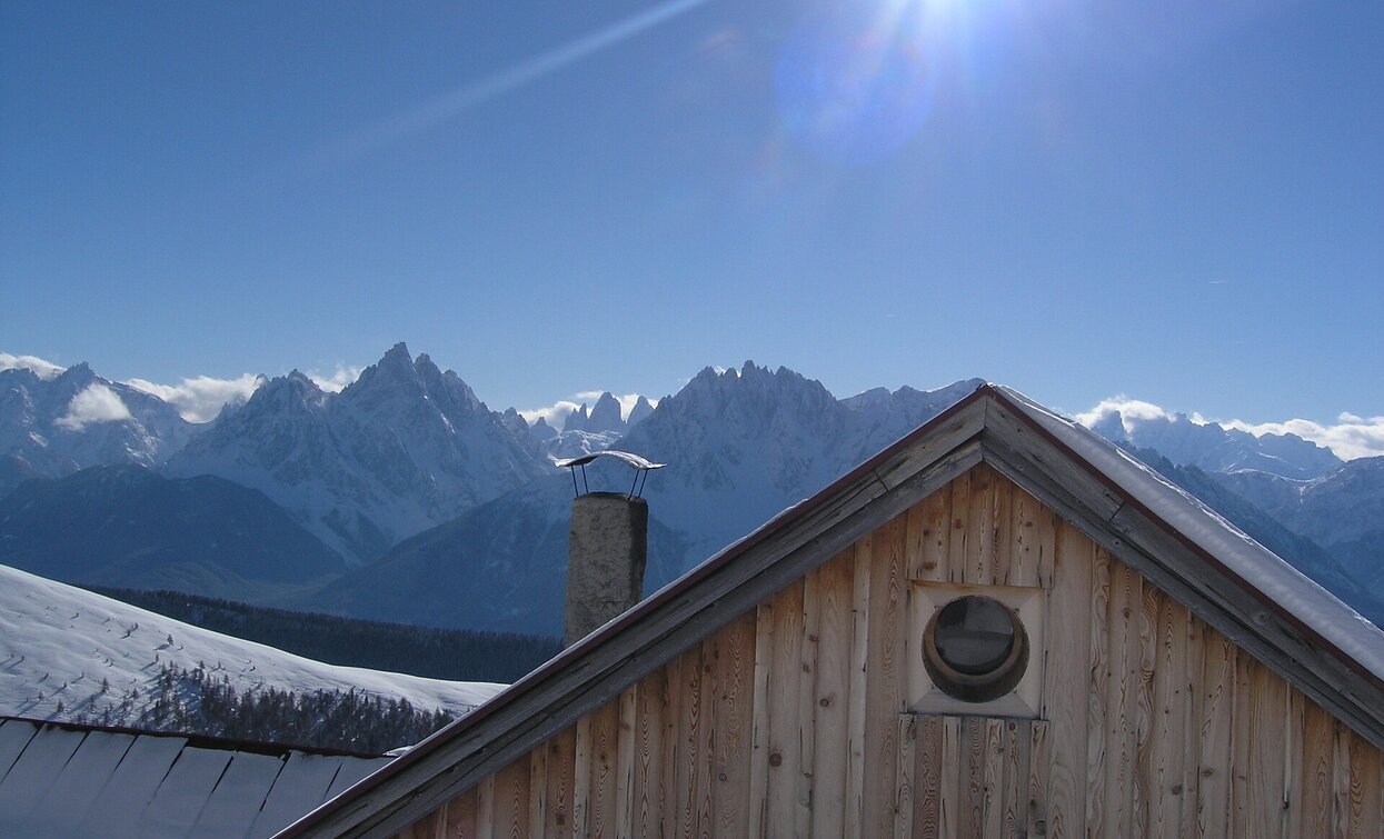
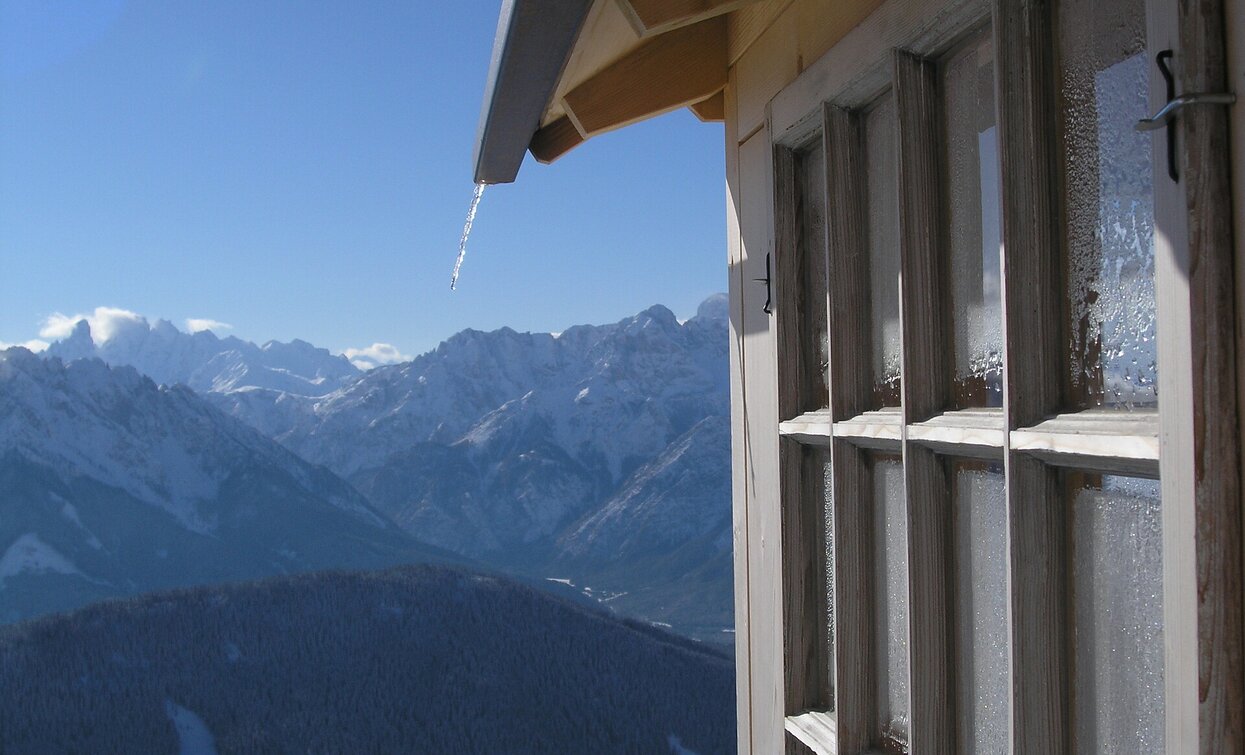
The Bonner-hut is considered by many to be the hut with the best view of the Dolomites, including the Tre Cime.

The Bonner hut (closed in winter), which is located at 2,340 m above the sea level, offers a view of the snow-covered Dolomite peaks. Among them also the famous Three Peaks.

IMPORTANT: Before starting any ski tour/snowshoe excursion, you must check the weather conditions and danger avalanches report (https://avalanche.report), asking also experts (alpine guides etc.).

Route info
Intermediate
Distance
3,9 km
Activity time
2 h 30 min
Ascent
711 m
Descent
0 m
Physical effort
Scenary
Highest point
2.309 m
Lowest point
1.598 m
Directions

The snoweshoe hike starts in Kandellen/Gandelle and leads on forest path no. 25 in a north-easterly direction. The first part of the trail in the forest is quite steep. Then the hike crosses a bridge and always leads slightly uphill to the tree line. Above the tree line, the tour leads over the striking southern ridge of the mountain to the Bonner hut (closed in winter), which is located at 2,340 m. 

public transportation
Not accessible by public transport.
How to get there

How to reach Toblach/Dobbiaco: https://www.drei-zinnen.info/en/dobbiaco/dobbiaco/contact-and-service/arrival-mobility.html

From Toblach  in northern direction, passing the district Wahlen/San Silvestro, until Kandellen/Gandelle.

Where to park

Parking places are available.

You might be interested in
Discover related tours
Winter hiking tours | © TV Niederdorf, Villabassa
Intermediate
Add to favourites
Niederdorf, Toblach
Winter trail: Villabassa/Niederdorf - Altschluderbach/Carbonin Vecchia - Rienz/Rienza
Distance 5,3 km
Activity time 2 h 00 min
Ascent 121 m
Descent 68 m
Status
Closed
Pragser Tal
Snowshoe hike - Ponticello/ Brückele - Malga Rossalm/ Rossalm
Distance 4,8 km
Activity time 2 h 14 min
Ascent 666 m
Descent 0 m
Status
Closed
Lake Prags/Braies - Grünwaldtal | © Wisthaler, Braies
Intermediate
Add to favourites
Pragser Tal
Snowshoe hike - Pragser Wildsee lake - Grünwaldtal valley
Distance 2,3 km
Activity time 1 h 00 min
Ascent 118 m
Descent 18 m
Status
Closed
Toblach
Snowshoe-hiking tour: Ratsberg/Monte Rota - Mellaten/Melate
Distance 3,5 km
Activity time 3 h 00 min
Ascent 251 m
Descent 75 m
Status
Closed
Valle San Silvestro/ Wahlen - Rifugio Lachwiesen | © © W.Schneider, Dobbiaco
Intermediate
Add to favourites
Toblach
Snowshoe-hike tour: Wahlen/San Silvestro - Lachwiesen hut
Distance 1,5 km
Activity time 1 h 30 min
Ascent 394 m
Descent 0 m
Status
Closed
Snowshoe hike: Seikofel | © Harald Wisthaler, Sesto
Intermediate
Add to favourites
Sexten
Snowshoe hike: Seikofel
Distance 8,7 km
Activity time 3 h 35 min
Ascent 567 m
Descent 274 m
Status
Closed