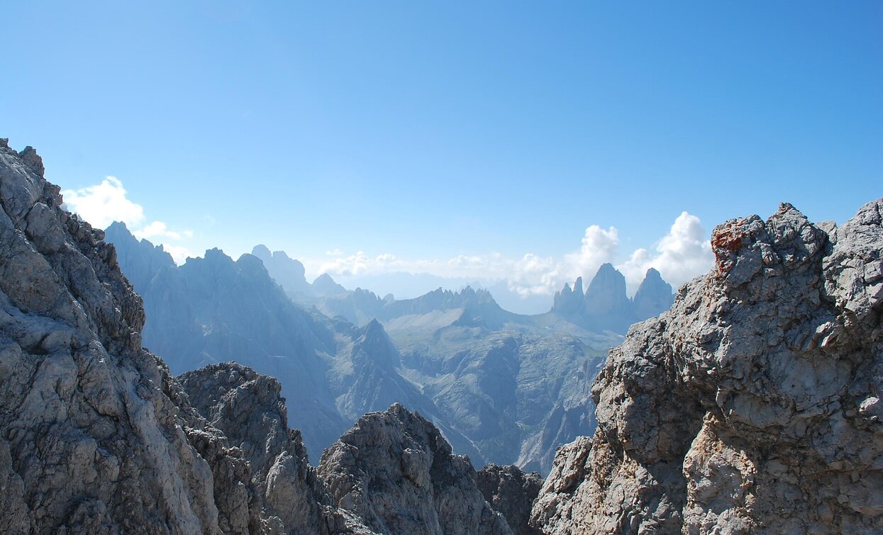
Summer hike: Höhlensteintal/Val di Landro valley - Birkenschartl/Forcella dei Baranci
Toblach
Add to favouritesCategory
Difficulty
Difficult
Activity time
3:30
Duration in hours
Distance
5.2
Distance in km
Status
Closed
Suggested period
Jan
Feb
Mar
Apr
May
Jun
Jul
Aug
Sep
Oct
Nov
Dec
The hike to the Forcella dei Baranci/Birkenschartl offers a beautiful view on the Three Peaks and the surrounding mountains.
Tags
- Linear route
Route info
Difficult
Distance
5,2 km
Activity time
3 h
30 min
Ascent
1.234 m
Descent
7 m
Physical effort
Scenary
Highest point
2.508 m
Lowest point
1.281 m
Directions
The hike leads via path no. 8 first in the middle of the forest and later in mountain pine into the Birkental/Valle del Baranci valley. The valley opens up and the path leads up in bends to the notch.
Tip: descent to the Val Campo di Dentro/Innerfeldtal valley.
public transportation
Not accessible by public transport.
How to get there
How to reach Toblach/Dobbiaco: https://www.drei-zinnen.info/en/dobbiaco/dobbiaco/contact-and-service/arrival-mobility.html
From Toblach in southern direction for 5 kilometre, on the left side.
Where to park
Parking places are available.
You might be interested in
Discover related tours


