Category
Difficulty
Difficult
Activity time
2:30
Duration in hours
Distance
7.6
Distance in km
Status
Closed
Suggested period
Jan
Feb
Mar
Apr
May
Jun
Jul
Aug
Sep
Oct
Nov
Dec
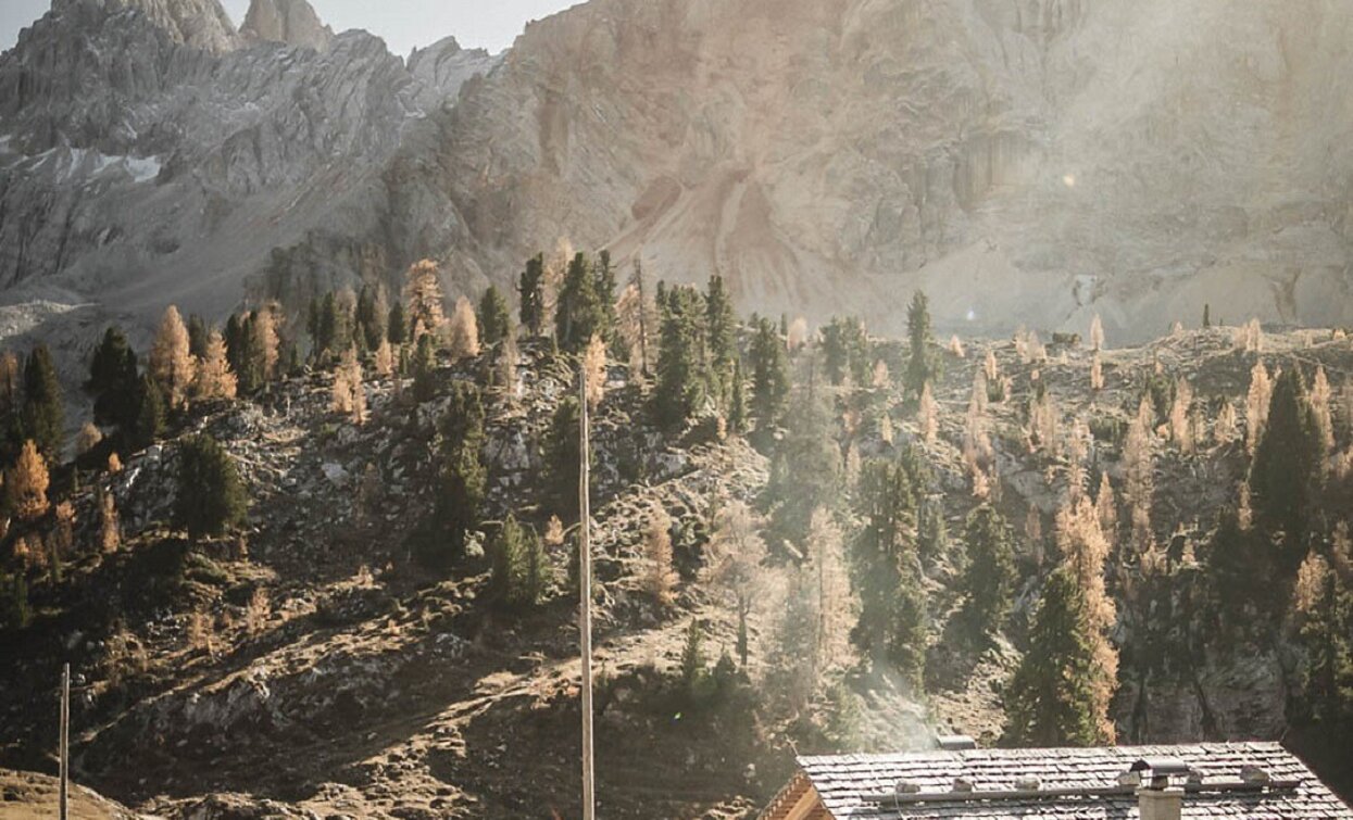
On Plätzwiese high plateau, you will find hiking trail nr. 18 on the right side. This leads you over meadows and alpine pastures to the Stollaalm hut. On the left side of thr hut you will find hiking trail nr. 3, which will bring you to the foot of the Hohe Gaisl mounatin. You fallow this very narrow and stony path to the Rossalm hut. Some places are also secured with a rope.
Walking time: 2h 45min
Please note: Temperature fluctuations may cause icy patches to form, so we recommend caution!
Walking time: 2h 45min
Please note: Temperature fluctuations may cause icy patches to form, so we recommend caution!
Tags
- Linear route
Route info
Difficult
Distance
7,6 km
Activity time
2 h
30 min
Ascent
490 m
Descent
309 m
Physical effort
Scenary
Highest point
2.341 m
Lowest point
1.959 m
Safety guidelines
Please note: Temperature fluctuations may cause icy patches to form, so we recommend caution!
public transportation
You can find all information about public transport on the website https://www.suedtirolmobil.info/en/#/
How to get there
Valley entrance Braies – road junction to Prato Piazza – continue until Ponticello.
You can find all the information you need about accessibility on the website www.braies.bz
Where to park
At the Plätzwiese High Plateau you can find a parking space for 100 cars.
You might be interested in
Discover related tours


