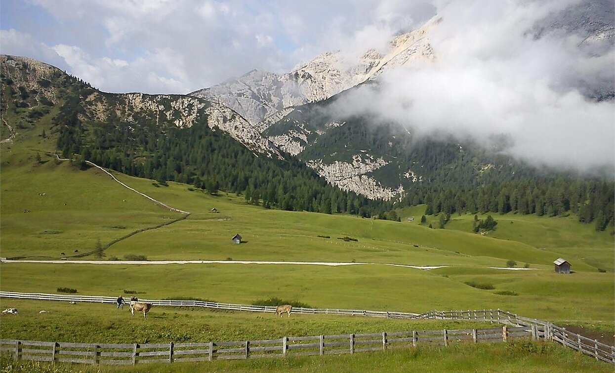
Summer hiking - Parking space Prato Piazza/Plätzwiese - Rif. Vallandro/Dürrensteinhütte
Pragser Tal
Add to favouritesCategory
Difficulty
Easy
Activity time
0:32
Duration in hours
Distance
2
Distance in km
Status
Closed
Suggested period
Jan
Feb
Mar
Apr
May
Jun
Jul
Aug
Sep
Oct
Nov
Dec
Excursion on a wonderful upland in the mids of the Natural Park with a wonderful view over the 3 Peaks and the Mountains Hohe Gails/Croda Rossa, Tofana and Monte Cristallo. Walking time: 1 hour Sign-post: No. 37
Tags
- Linear route
Route info
Easy
Distance
2,0 km
Activity time
32 min
Ascent
40 m
Descent
0 m
Physical effort
Scenary
Highest point
2.030 m
Lowest point
1.990 m
public transportation
You can find all information about public transport on the website https://www.suedtirolmobil.info/en/#/
How to get there
Valley entrance Braies – road junction to Prato Piazza – continue until Ponticello.
You can find all the information you need about accessibility on the website www.braies.bz
Where to park
At the Plätzwiese High Plateau you can find a parking space for 100 cars.
You might be interested in
Discover related tours


