Category
Difficulty
Difficult
Activity time
3:20
Duration in hours
Distance
6.6
Distance in km
Status
Closed
Suggested period
Jan
Feb
Mar
Apr
May
Jun
Jul
Aug
Sep
Oct
Nov
Dec
The hiking trail gives an interesting insight into the history of the Dolomites.
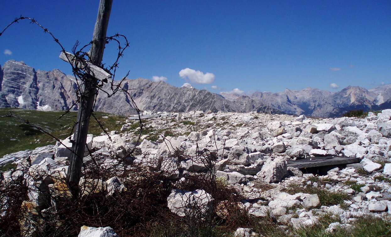
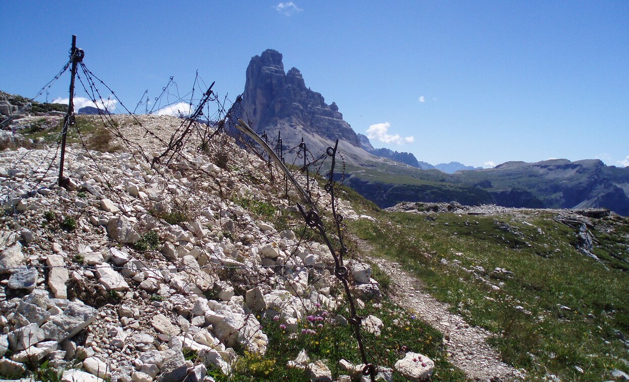
The Open Air Museum on the Monte Piano of the First World War is one of the most important witness of the battles between Austria and Italy in the years 1915-1917. It consists of trench warfares, tunnels and emplacements.
Tags
- Linear route
Route info
Difficult
Distance
6,6 km
Activity time
3 h
20 min
Ascent
1.018 m
Descent
100 m
Physical effort
Scenary
Highest point
2.324 m
Lowest point
1.405 m
Directions
The hike starts at the Dürrensee/Landro lake in the Höhlensteintal/Val di Landro valley. The trail no. 6 leads to the eastern shore of the lake and from there begins the ascent on the Monte Piano. This path leads in serpentines in the middle of the mountain pines towards the summit. This hike is only recommended for sure-footed and vertigo-free persons, as the trail is partially exposed.
public transportation
Accessible by public transport. The timetables are available on www.sii.bz.it.
How to get there
How to reach Toblach/Dobbiaco: https://www.drei-zinnen.info/en/dobbiaco/dobbiaco/contact-and-service/arrival-mobility.html
From Toblach in southern direction until the Dürrensee/Lago di Landro lake.
Where to park
Parking places are available.
You might be interested in
Discover related tours


