to the cable cars
Top

Summer hiking tour: Franadega/Frondeigen- Monte Calvo/Golfen

Toblach
Add to favourites
Category
Difficulty
Intermediate
Activity time
2:30
Duration in hours
Distance
5.4
Distance in km
Suggested period
Jan
Feb
Mar
Apr
May
Jun
Jul
Aug
Sep
Oct
Nov
Dec
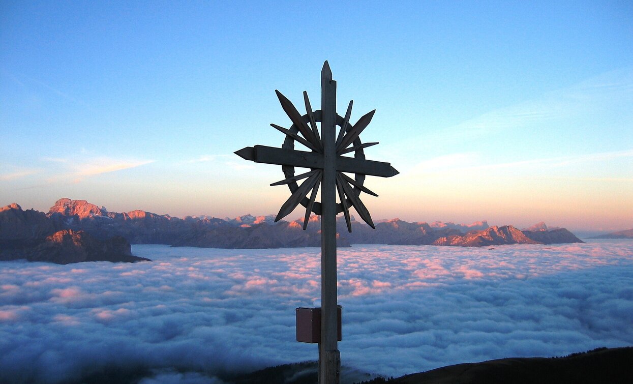
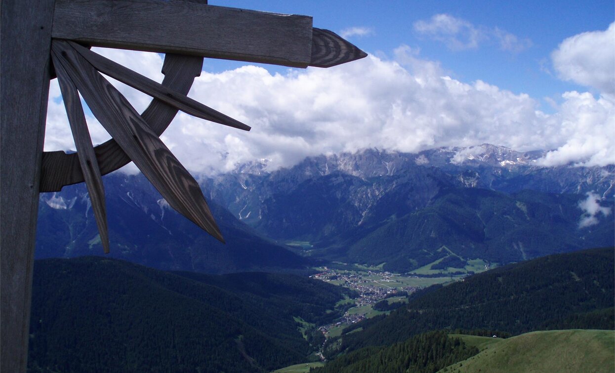
The Golfen is considered one of the best panoramic mountains in Toblach.

This hiking tour which leads on the Golfen/Monte Calvo our offers a wonderful view over the Dolomites.

Route info
Intermediate
Distance
5,4 km
Activity time
2 h 30 min
Ascent
834 m
Descent
9 m
Physical effort
Scenary
Highest point
2.476 m
Lowest point
1.651 m
Directions

The summer hike leads from Frondeigen/Franadega first on the forest road no. 24 in a few hairpin bends towards the north. At the end of this path the forest becomes lighter and the tour continues to the Schuheralm hut (closed). In a north-north-east direction, the path continues initially relatively flat up to a cross with a bench next to it, then steep to the next hill, from which the summit is clearly visible. Shortly before the summit, it gets a little steeper again.

public transportation
Not accessible by public transport.
How to get there

How to reach Toblach/Dobbiaco: https://www.drei-zinnen.info/en/dobbiaco/dobbiaco/contact-and-service/arrival-mobility.html

From Toblach in northern direction, passing the district Wahlen/San Silvestro, until Frondeigen/Franadega.

Where to park

Parking places are available.

You might be interested in
Discover related tours
Sexten
Hike: Hotel Rainer – Hennstoll hut
Distance 1,3 km
Activity time 25 min
Ascent 78 m
Descent 11 m
Sexten
Family Hike: Moos – Fischleintal valley – Talschlusshütte hut
Distance 5,2 km
Activity time 1 h 25 min
Ascent 197 m
Descent 10 m
Pragser Tal
Summer hiking tour - Lago di Braies/Pragser Wildsee - Alpine hut "Rifugio Senes/Senneshütte"
Distance 8,7 km
Activity time 3 h 23 min
Ascent 922 m
Descent 202 m
Pragser Tal
Summer hiking tour - Ferrara Circuit
Distance 4,8 km
Activity time 1 h 22 min
Ascent 136 m
Descent 136 m
Sexten Alpine Pastures | © Salewa, Sesto
Intermediate
Add to favourites
Sexten
Hike: To the Seikofel
Distance 14,9 km
Activity time 4 h 45 min
Ascent 576 m
Descent 576 m
Innichen, Sexten
Hike: Crossing Innerfeldtal valley - Fischleintal valley
Distance 11,6 km
Activity time 6 h 55 min
Ascent 1.197 m
Descent 1.013 m