to the cable cars
Top

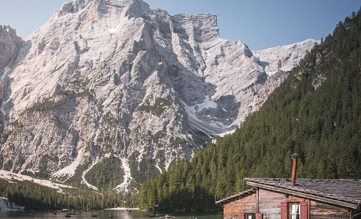
Summer hiking tour - Lago di Braies/Pragser Wildsee - Mountain "Croda del Becco/Seekofel"

Pragser Tal
Add to favourites
Category
Difficulty
Difficult
Activity time
3:30
Duration in hours
Distance
7.3
Distance in km
Suggested period
Jan
Feb
Mar
Apr
May
Jun
Jul
Aug
Sep
Oct
Nov
Dec
Specatcular peak with breathtaking 360°-view!

Specatcular peak with breathtaking 360°-view! Along the western shore of the lake to the south-eastern end of the lake, then upwards to Buco del Giavo/Nabiges Loch cross the valley to the other side and to the right to Porta sora al Forn. From there, the trail branches off to the right over rocky terrain to the summit. Exposed sections are secured with wire rope. Sign-post: No 1, from “Rifugio Biella” without number - marked in red Challenge: very demanding, vertigo and slip resistance required!
The walking time is 4,5 hours

Route info
Difficult
Distance
7,3 km
Activity time
3 h 30 min
Ascent
1.314 m
Descent
4 m
Physical effort
Scenary
Highest point
2.808 m
Lowest point
1.493 m
public transportation

You can find all information about public transport on the website https://www.suedtirolmobil.info/en/#/

How to get there

Valley entrance Braies – road junction to Braies lake – continue until Pragser Wildsee lake.

You can find all the information you need about accessibility on the website www.braies.bz

Where to park

In front of Pragser Wildsee Lake you will find three paid parking spaces (800m, 400m and 200m beforehand).

You might be interested in
Discover related tours
Innichen
Family hike: Rifugio Gigante Baranci/Riese Haunold Hütte Mountain Hut
Distance 2,8 km
Activity time 50 min
Ascent 314 m
Descent 0 m
Toblach, Niederdorf
Summer-walk around Altschluderbach/Carbonin Vecchia
Distance 10,6 km
Activity time 3 h 00 min
Ascent 220 m
Descent 220 m
Toblach
Summer hiking tour: Dürrensee/Landro lake - Monte Piano
Distance 6,6 km
Activity time 3 h 20 min
Ascent 1.018 m
Descent 100 m
Pragser Tal
Family hiking tour - Parking space Plätzwiese High Plateau - Almhütte Plätzwiese hut
Distance 1,5 km
Activity time 40 min
Ascent 85 m
Descent 10 m
Golfen | © @TVToblach, Dobbiaco
Intermediate
Add to favourites
Toblach
Summer hiking tour: Franadega/Frondeigen- Monte Calvo/Golfen
Distance 5,4 km
Activity time 2 h 30 min
Ascent 834 m
Descent 9 m
Toblach
Summer hiking tour: Höhlensteintal/Val di Landro valley - Lückerleschartl/Forcella del Lago
Distance 5,3 km
Activity time 3 h 00 min
Ascent 1.280 m
Descent 90 m