Top
Summer hiking tour - Lago di Braies/Pragser Wildsee - Rifugio Biella/Seekofelhütte
Pragser Tal
Add to favouritesCategory
Difficulty
Difficult
Activity time
3:09
Duration in hours
Distance
6.1
Distance in km
Status
Closed
Suggested period
Jan
Feb
Mar
Apr
May
Jun
Jul
Aug
Sep
Oct
Nov
Dec
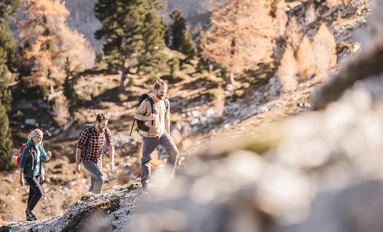
Panoramic mountain hike in an untouched rocky landscape of the Braies Dolomites.
Go along the western shore of the lake to the south-eastern end of the lake, then upwards to Buco del Giavo/Nabiges Loch cross the valley to the other side and to the right to Porta sora al Forn, then slightly downwards to the alpine hut “Rifugio Biella/Seekofelhütte”. Walking time: 3,5 hours Sign-post: No. 1 Challenge: very demanding
Tags
- Linear route
Route info
Difficult
Distance
6,1 km
Activity time
3 h
09 min
Ascent
954 m
Descent
105 m
Physical effort
Scenary
Highest point
2.388 m
Lowest point
1.492 m
public transportation
You can find all information about public transport on the website https://www.suedtirolmobil.info/en/#/
How to get there
Valley entrance Braies – road junction to Braies lake – continue until Pragser Wildsee lake.
You can find all the information you need about accessibility on the website www.braies.bz
Where to park
In front of Pragser Wildsee Lake you will find three paid parking spaces (800m, 400m and 200m beforehand).
You might be interested in
Discover related tours


