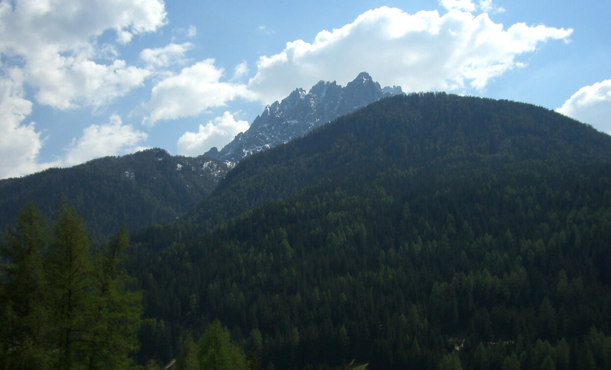
Summer hiking tour: Neutoblach/Dobbiaco Nuova - Elsler Kaser - Innichen/San Candido
Toblach, Innichen
Add to favouritesCategory
Difficulty
Intermediate
Activity time
2:30
Duration in hours
Distance
8.2
Distance in km
Status
Closed
Suggested period
Jan
Feb
Mar
Apr
May
Jun
Jul
Aug
Sep
Oct
Nov
Dec
The hike leads from Toblach/Dobbiaco under the Neuner Kofl/Cima Nove to Innichen/San Candido.
Tags
- Linear route
Route info
Intermediate
Distance
8,2 km
Activity time
2 h
30 min
Ascent
454 m
Descent
478 m
Physical effort
Scenary
Highest point
1.650 m
Lowest point
1.178 m
Directions
The trail starts at the train station in Toblach/Dobbiaco and leads first along the road towards Cortina d'Ampezzo. About 100m after the petrol station on the left side, the forest trail no. 28 leads uphill to the Elsler Kaser and then downhill on to Innichen/San Candido.
public transportation
Accessible by public transport. The timetables are available on www.sii.bz.it.
How to get there
How to reach Toblach/Dobbiaco: https://www.drei-zinnen.info/en/dobbiaco/dobbiaco/contact-and-service/arrival-mobility.html
From Toblach in southern direction and further on to the train station.
Where to park
Parking places are available.
You might be interested in
Discover related tours


