Summer hiking tour: Neutoblach /Dobbiaco Nuova - Source of the Drau/Drava River - Innichen/San Candido - Haselsberg/Costa Nosellari - Toblach/Dobbiaco
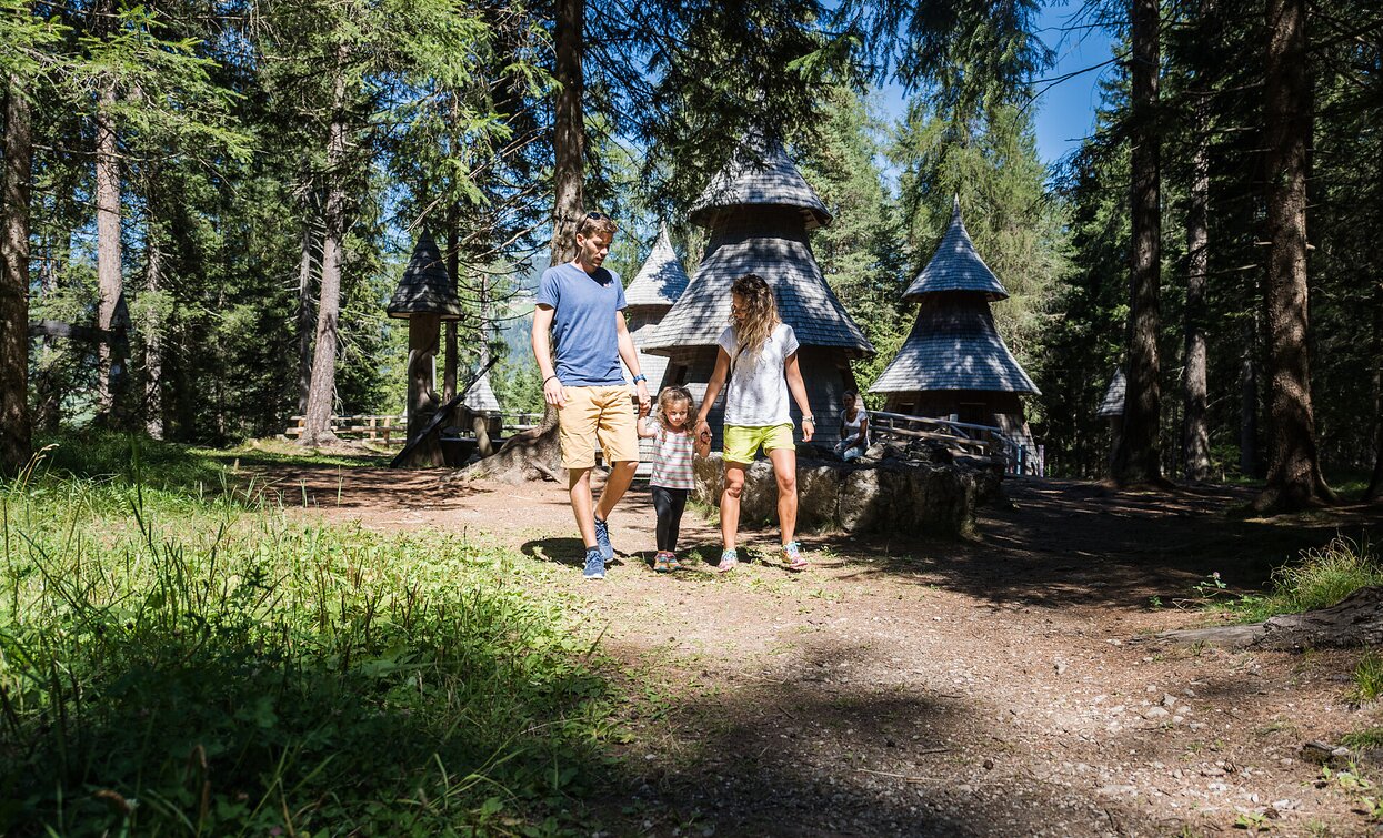
The medium difficulty hiking is especially recommended on sunny days. The hike leads past the "WoodWonderWorld" (children's playground in the middle of the forest) and past the source of the Drava River.
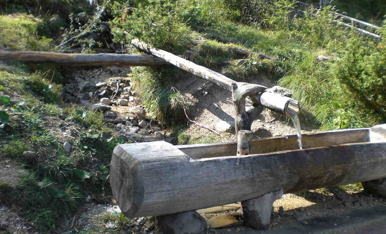
The walk begins in the WoodWonderWorld, a playground in the forest and an adventure world and leads along a gravel path to the source of the Drau, about halfway between Dobbiaco and San Candido. It then goes Haselsberg and then leads back to Dobbiaco. Due to its quiet location, the relatively short walking time and the low degree of difficulty, the walk is particularly recommended for families.
The WaldWunderWelt is a play, adventure and information facility on the subject of the forest.
Further information to the water treasures of Dobbiaco like the source of the Drava River: www.three-peaks.info/en/dobbiaco/dobbiaco/experiencing-dobbiaco/lago-di-dobbiaco-and-dobbiaco-water-treasures.html?_ga=1.204887893.455846822.1385385320
- Linear route
The trail starts at the beginning of the main road in the direction of Cortina d'Ampezzo, in front of the Hotel Dolomiten, on the left side. The trail with the marking no. 28A leads east behind the Grand Hotel passing the "WoodWonderWorld" of the Nature Park House over the larch forest towards Innichen/San Candido. After about 1 km you reach the source of the Drau/Drava river. Through the forest, the path continues to Innichen. From Innichen it goes uphill, past the Klammschlössl/Valcastello, and back over the sunny Haselsberg/Costa Nosellari to Toblach/Dobbiaco.
Accessible by public transport. The timetables are available on www.sii.bz.it.
How to reach Toblach/Dobbiaco: https://www.drei-zinnen.info/en/dobbiaco/dobbiaco/contact-and-service/arrival-mobility.html
From Toblach in southern direction.
Near parking places are available.


