to the cable cars
Top

Summer hiking tour: Niederdorf/Villabassa - Sarlkofel

Niederdorf, Toblach
Add to favourites
Category
Difficulty
Difficult
Activity time
5:10
Duration in hours
Distance
14.3
Distance in km
Suggested period
Jan
Feb
Mar
Apr
May
Jun
Jul
Aug
Sep
Oct
Nov
Dec
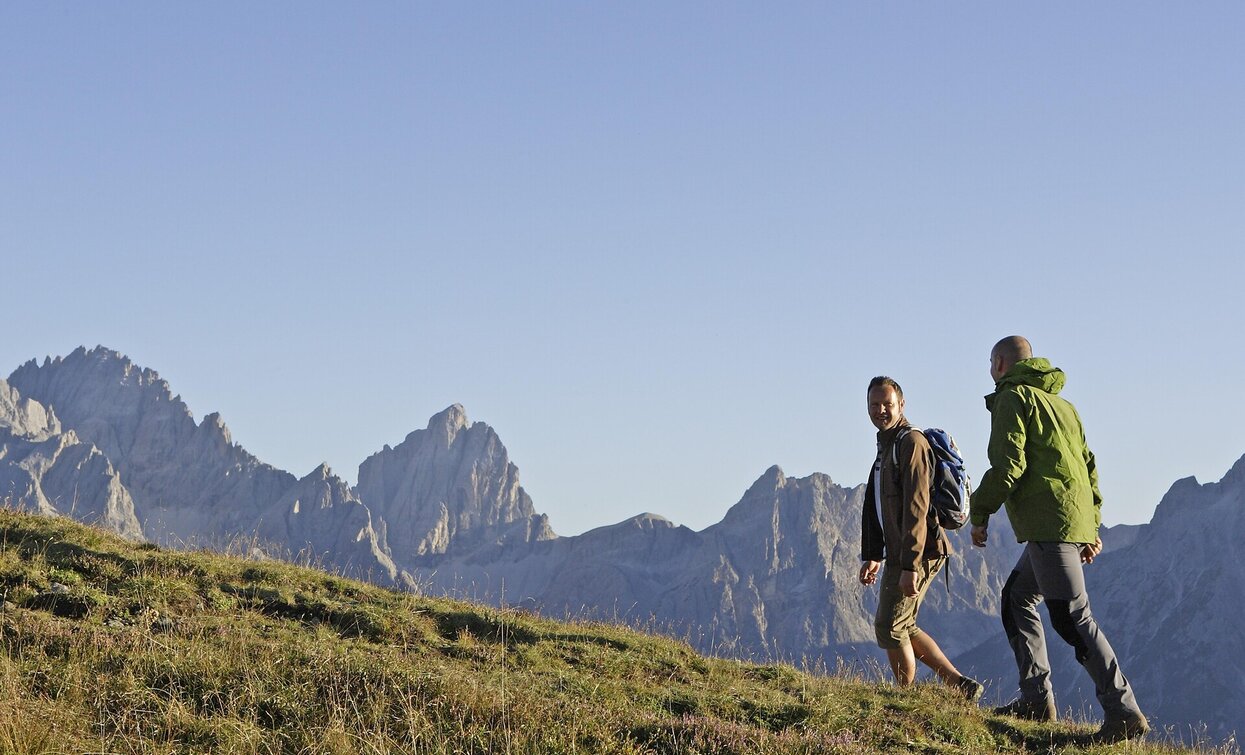
From Niederdorf, stroll past gentle meadows to Putzalm, then climb to Sarlsattel and summit, rewarded with breathtaking views. About 3.5 hours.

From Niederdorf, head towards Bad Maistatt. Just before the bridge, keep right and follow trail number 15, which safely guides you along the correct path. Passing the cozy Putzalm hut, immediately take a left onto trail number 16.

Continue to junction 16B, where you turn right and ascend towards Sarlsattel at 2,338 meters. This section already offers impressive views that energize you to keep going.

The final part leads across the south-facing slope — surefootedness and a head for heights are required here — up to the summit at 2,378 meters. From the top, you’ll be rewarded with a breathtaking panorama that more than makes up for the effort.

The total hiking time from Niederdorf is about 3.5 hours. A special highlight of this tour is the Putzalm, which is open in summer and invites you to enjoy regional delicacies in a cozy setting.

Route info
Difficult
Distance
14,3 km
Activity time
5 h 10 min
Ascent
1.269 m
Descent
1.269 m
Physical effort
Scenary
Highest point
2.377 m
Lowest point
1.144 m
public transportation

Niederdorf/Villabassa is easily accessible by public transport, such as buses and trains. Timetables are available at https://suedtirolmobil.info/en/

How to get there
The starting point is located in the center of Niederdorf, at Von Kurz Square. It is easily accessible by public transport: https://suedtirolmobil.info/en/
Where to park
A recommended parking area in Niederdorf/Villabassa is located at the western entrance to the village (“West Entrance”).
You might be interested in
Discover related tours
Toblach
Family walking tour: Toblach/Dobbiaco - Toblach/Dobbiaco lake - Nature Educational Trail - Toblach
Distance 7,9 km
Activity time 2 h 30 min
Ascent 61 m
Descent 61 m
Sexten
Hike: Moos - Kreuzberg pass
Distance 6,5 km
Activity time 2 h 00 min
Ascent 294 m
Descent 0 m
Pfannhorn | © @TVToblach, Dobbiaco
Intermediate
Add to favourites
Toblach
Summer hiking tour: Kandellen/Gandelle - Pfannhorn/Corno Fana
Distance 5,4 km
Activity time 3 h 00 min
Ascent 1.075 m
Descent 4 m
Toblach, Niederdorf
Family hiking tour: Niederdorf - Aufkirchen - Toblach - Niederdorf
Distance 10,7 km
Activity time 4 h 30 min
Ascent 600 m
Descent 800 m
Schmieden/Ferrara - Welsberg/Monuelfo | © Kotter Steger, Braies
Intermediate
Add to favourites
Pragser Tal
Summer hiking ferrara - Monguelfo
Distance 6,7 km
Activity time 1 h 42 min
Ascent 37 m
Descent 152 m
Monte Pra della Vacca | © Steiner Erwin, Braies
Intermediate
Add to favourites
Pragser Tal
Summer hiking - Lago di Braies/Pragser Wildsee - Mountain "Monte Pra della Vacca/Kühwiesenkopf"
Distance 3,4 km
Activity time 2 h 01 min
Ascent 641 m
Descent 0 m