to the cable cars
Top

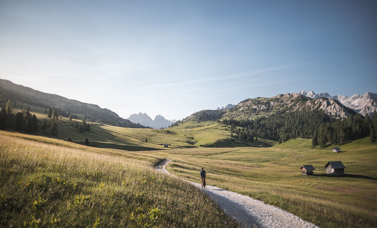
Summer hiking tour - Ponticello/Brückele - Prato Piazza/Plätzwiese

Pragser Tal
Add to favourites
Category
Difficulty
Intermediate
Activity time
1:47
Duration in hours
Distance
4.2
Distance in km
Suggested period
Jan
Feb
Mar
Apr
May
Jun
Jul
Aug
Sep
Oct
Nov
Dec
From Ponticello/Brückele along road to Prato Piazza/Plätzwiese. Walking time 2 h Alternative: Ponticello-Malga Stolla-Prato Piazza/Brückele-StollaAlm-Plätzwiese. Walking time 2 h

From Brückele/Ponticello along the main road (No. 37) to Prato Piazza/Plätzwiese. Walking time: 2 hours 

Alternative: Ponticello-Malga Stolla-Prato Piazza/Brückele-Stolla Alm-Plätzwiese. From Ponticello/Brückele along the main road to the third turn, then follow the hiking path n. 18 along the Stolla River to Malga Stolla/Stolla Alm; continue up-and-down alpine pastures to Prato Piazza/Plätzwiese. Walking time: 2 hours

Route info
Intermediate
Distance
4,2 km
Activity time
1 h 47 min
Ascent
507 m
Descent
11 m
Physical effort
Scenary
Highest point
1.989 m
Lowest point
1.494 m
public transportation
In the summer months you can use the bus line 443 (Welsberg/Monguelfo-Plätzwiese High Plateau) bus stop: Ponticello/ Brückele
How to get there

Valley entrance Braies – road junction to Prato Piazza – continue until Ponticello.

Where to park

At Ponticello/ Brückele you can find a parking space.

You might be interested in
Discover related tours
Sexten
Walk: Gasthof Panorama agritourism – Helmhanghütte hut
Distance 1,0 km
Activity time 20 min
Ascent 53 m
Descent 9 m
Hike to the Lärchenhütte hut | © ©Wisthaler Harald, Sesto
Intermediate
Add to favourites
Sexten
Hike: Sexten - Lärchenhütte hut
Distance 5,4 km
Activity time 1 h 55 min
Ascent 542 m
Descent 0 m
Pragser Tal
Summer hiking tour - Lago di Braies/Pragser Wildsee - Rifugio Biella/Seekofelhütte
Distance 6,1 km
Activity time 3 h 09 min
Ascent 954 m
Descent 105 m
Lachwiesenhut | © @TVToblach, Dobbiaco
Intermediate
Add to favourites
Toblach
Summer-walk to the Lachwiesen hut
Distance 6,7 km
Activity time 2 h 30 min
Ascent 458 m
Descent 458 m
Gsellwiesen | © Harald Wisthaler, Sesto
Intermediate
Add to favourites
Sexten
Hike: To the Gsellwiesen meadows
Distance 7,0 km
Activity time 3 h 35 min
Ascent 766 m
Descent 766 m
Heimatsteig path | © TV Sexten - Harald Wisthaler, Sesto
Intermediate
Add to favourites
Sexten
Hike: Helm
Distance 5,1 km
Activity time 2 h 41 min
Ascent 1.092 m
Descent 1.092 m