to the cable cars
Top

Summer hiking tour: "Schöne Aussicht"/Bellavista Eggerberg/Montecosta

Niederdorf
Add to favourites
Category
Difficulty
Intermediate
Activity time
1:52
Duration in hours
Distance
5.7
Distance in km
Suggested period
Jan
Feb
Mar
Apr
May
Jun
Jul
Aug
Sep
Oct
Nov
Dec
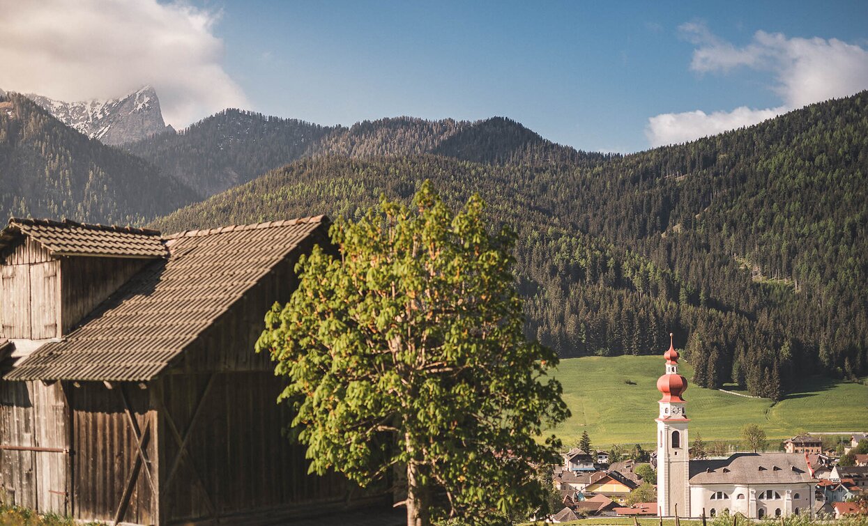
Start at Spitalkirche in Niederdorf. Gentle climbs and forest trails lead to the “Schöne Aussicht” (1,460 m) with stunning views — a perfect spot to recharge.

The hike starts right at the Spitalkirche, located in the heart of Villabassa, leading you along a diverse and captivating route. Passing the historic parish church, the path gently ascends along Eggerbergstraße until you reach the distinctive bend near Brandhäusl (trail no. 45).

Here, you turn left onto a peaceful, shaded forest trail that guides you through serene nature to the picturesque Thaler. The route then continues almost flat westward to the small village of Kleinsinner — a perfect section to quietly absorb the surrounding landscape.

From Kleinsinner, you follow the road up to the stunning “Schöne Aussicht” (Beautiful View) viewpoint at 1,460 meters elevation. This spectacular lookout offers majestic views over the surrounding mountains and valleys and is an ideal spot to pause, take a deep breath, and recharge your energy.

A truly magnificent panoramic trail that enchants nature lovers and hikers alike with its variety and beauty, promising an unforgettable experience.

Route info
Intermediate
Distance
5,7 km
Activity time
1 h 52 min
Ascent
360 m
Descent
90 m
Physical effort
Scenary
Highest point
1.490 m
Lowest point
1.142 m
public transportation

Niederdorf/Villabassa is easily accessible by public transport, such as buses and trains. Timetables are available at https://suedtirolmobil.info/en/

How to get there
The starting point is located in the center of Niederdorf, at Von Kurz Square. It is easily accessible by public transport: https://suedtirolmobil.info/en/
Where to park
A recommended parking area in Niederdorf/Villabassa is located at the western entrance to the village (“West Entrance”).
You might be interested in
Discover related tours
Innichen, Sexten
Hike: Sexten- Innichen
Distance 7,3 km
Activity time 2 h 05 min
Ascent 134 m
Descent 279 m
Toblach
Summer hiking tour: Schluderbach/Carbonin - Monte Piano
Distance 3,5 km
Activity time 3 h 00 min
Ascent 906 m
Descent 48 m
Toblach
Summer hiking tour: Toblach/Dobbiaco - Fontanta "ZweiWasserBrunnen" - labyrinth
Distance 3,3 km
Activity time 2 h 00 min
Ascent 182 m
Descent 66 m
Ponticello/ Brückele - Malga Stolla/ Stolla Alm - Prato Piazza/ Plätzwiese | © TV Prags, Braies
Intermediate
Add to favourites
Pragser Tal
Summer hiking - Ponticello/ Brückele - Malga Stolla/ Stolla Alm - Prato Piazza/ Plätzwiese
Distance 5,3 km
Activity time 1 h 58 min
Ascent 517 m
Descent 21 m
Toblach, Sexten
Hike: Sextner Stein, Three Peaks
Distance 6,7 km
Activity time 3 h 50 min
Ascent 1.097 m
Descent 3 m
San Pietro in Monte | © @TVToblach, Dobbiaco
Intermediate
Add to favourites
Toblach
Summer-walk around pilgrim path St. Peter am Koflel/San Pietro in Monte
Distance 2,1 km
Activity time 2 h 00 min
Ascent 198 m
Descent 198 m