Top
Summer hiking tour: Schluderbach/Carbonin - Dürrensteinhütte/Rifugio Vallandro hut
Toblach, Pragser Tal
Add to favouritesCategory
Difficulty
Intermediate
Activity time
2:00
Duration in hours
Distance
6
Distance in km
Status
Closed
Suggested period
Jan
Feb
Mar
Apr
May
Jun
Jul
Aug
Sep
Oct
Nov
Dec
The hiking trail is of medium difficulty and can be combined with a hike to Prato Piazza.
This moderately difficult hike leads up to the Plätzwiese/Prato Piazza, a high plateau at 2,000 m above sea level with a breathtaking view of the Hohe Gaisel/Croda Rossa and the Cristallo.
Tags
- Linear route
Route info
Intermediate
Distance
6,0 km
Activity time
2 h
00 min
Ascent
579 m
Descent
0 m
Physical effort
Scenary
Highest point
2.031 m
Lowest point
1.449 m
Directions
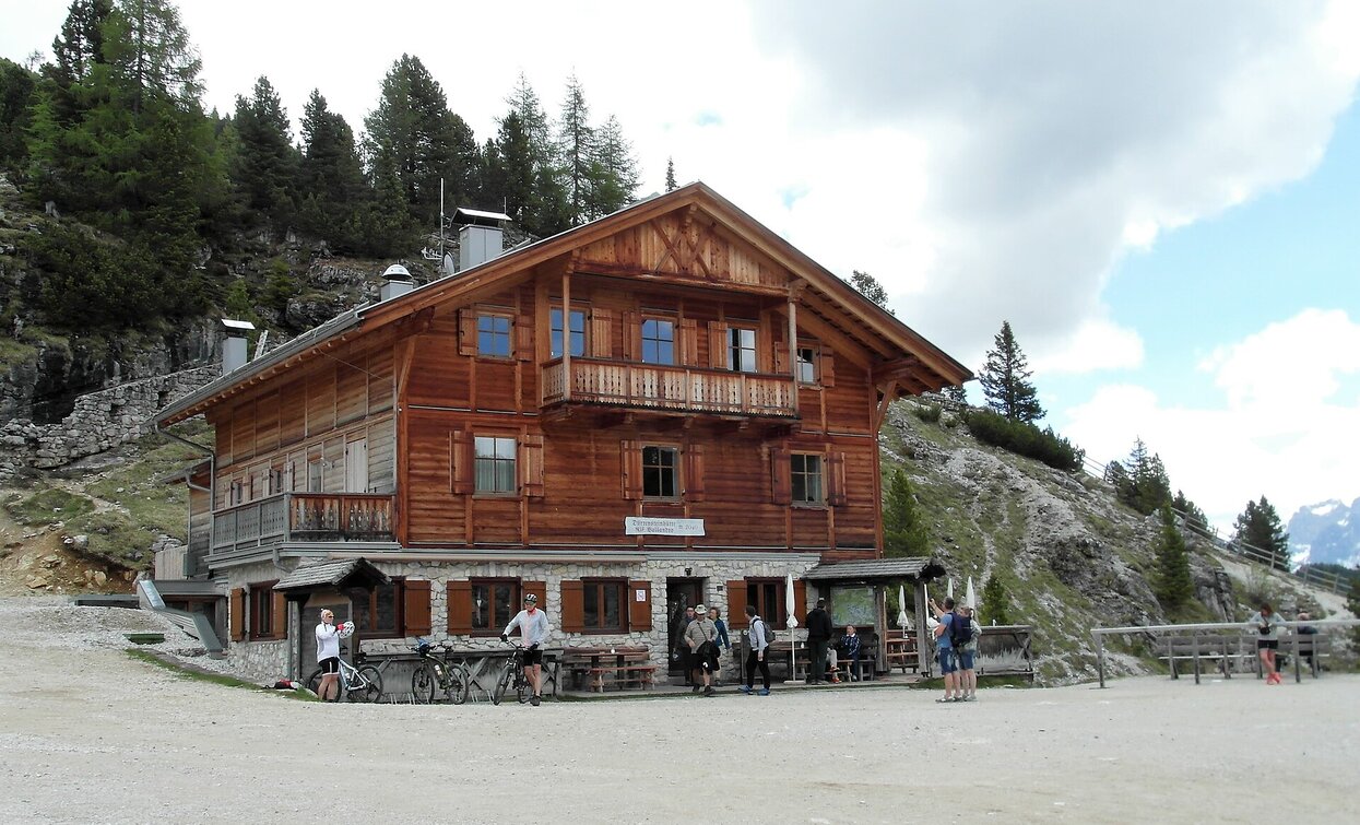
The summer-hiking tour starts at Schluderbach/Carbonin. The forest path no. 37 takes in the middle of the wood up to the Dürrensteinhütte/Rifugio Vallandro hut. To shorten the hike a bit, the little steeper shortcuts can be used.
public transportation
Accessible by public transport. The timetables are available on www.sii.bz.it.
How to get there
How to reach Toblach/Dobbiaco: https://www.drei-zinnen.info/en/dobbiaco/dobbiaco/contact-and-service/arrival-mobility.html
From Toblach in southern direction and further on to Schluderbach/Carbonin.
Where to park
Parking places are available.
You might be interested in
Discover related tours


