to the cable cars
Top

Summer hiking tour: Toblach/Dobbiaco lake - Sarlkofel/Monte Serla

Toblach, Niederdorf
Add to favourites
Category
Difficulty
Difficult
Activity time
3:30
Duration in hours
Distance
8.9
Distance in km
Suggested period
Jan
Feb
Mar
Apr
May
Jun
Jul
Aug
Sep
Oct
Nov
Dec
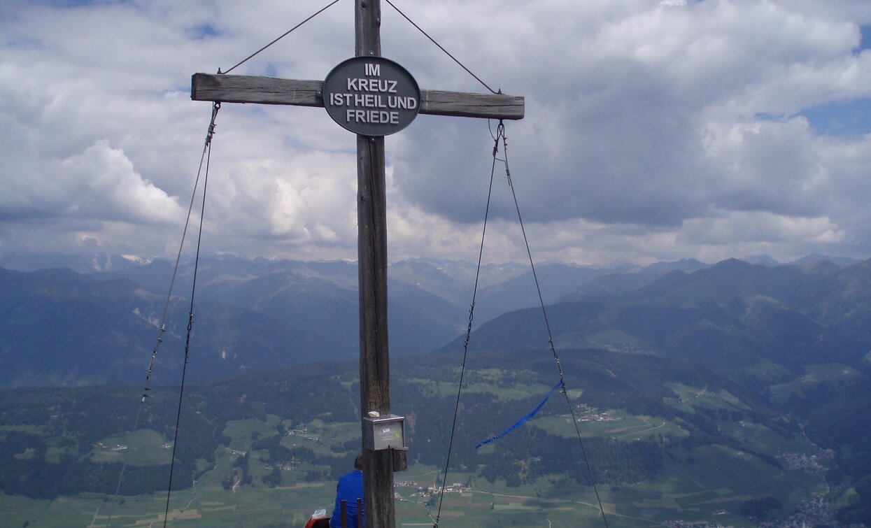
The mountain is Toblach's local mountain and offers a beautiful view of Toblach and the main Alpine ridge behind it.

The Sarlkofel/Monte Serla is situated in the Nature Park Fanes Sennes Prags/Braies. From the summit you have a beatiful view over Toblach/Dobbiaco.

Route info
Difficult
Distance
8,9 km
Activity time
3 h 30 min
Ascent
1.160 m
Descent
32 m
Physical effort
Scenary
Highest point
2.378 m
Lowest point
1.256 m
Directions

The hiking tour starts at the Toblach/Dobbiaco lake and leads across the west side of the lake shore past the lake. On the right side begins the steep climb (trail no. 14), passing the Sarl hut (closed), up to the "Sarlriedl". Once there, on the right-hand side, the trail no. 33 leads to the "Sarl-Sattel" and, partially exposed, continues to the Sarlkofel/Monte Serla.

public transportation

Accessible by public transport. The timetables are available on www.sii.bz.it.

How to get there

How to reach Toblach/Dobbiaco: https://www.drei-zinnen.info/en/dobbiaco/dobbiaco/contact-and-service/arrival-mobility.html

From Toblach in southern direction. The lake is located on the right side.

Where to park

Parking places are available.

You might be interested in
Discover related tours
rifugio Lavaredo | © @TVToblach, Dobbiaco
Intermediate
Add to favourites
Toblach, Pragser Tal
Summer hiking tour: Schluderbach/Carbonin - Dürrensteinhütte/Rifugio Vallandro hut
Distance 6,0 km
Activity time 2 h 00 min
Ascent 579 m
Descent 0 m
Innichen
Theme hike: Thermal Baths San Candido/Innichen
Distance 3,3 km
Activity time 1 h 00 min
Ascent 147 m
Descent 0 m
Status
Closed
Wöggenalm | © Kotter Steger, Braies
Intermediate
Add to favourites
Pragser Tal
Summer hike - S. Vito/St. Veit - Malga Wöggen/Wöggenalm
Distance 2,4 km
Activity time 1 h 04 min
Ascent 309 m
Descent 10 m
Toblach, Pragser Tal, Niederdorf
Summer hiking tour - Braies Vecchia/Altprags - Moutain "Monte Serla/Sarlkofel"
Distance 4,9 km
Activity time 3 h 08 min
Ascent 1.010 m
Descent 59 m
Säge - Brückele/Ponticello | © Kotter Steger, Braies
Intermediate
Add to favourites
Pragser Tal
Summer hiking tour - Segheria/Säge - Ponticello/Säge - Brückele
Distance 5,8 km
Activity time 1 h 51 min
Ascent 321 m
Descent 34 m
Pragser Tal
Summer hiking - Parcheggio Prato Piazza/Plätzwiese - Malga Rossalm hut
Distance 7,6 km
Activity time 2 h 30 min
Ascent 490 m
Descent 309 m