Top

Summer hiking tour: Toblach/Dobbiaco - Ratsberg/Monte Rota

Toblach
Add to favourites
Category
Difficulty
Intermediate
Activity time
2:00
Duration in hours
Distance
4.5
Distance in km
Suggested period
Jan
Feb
Mar
Apr
May
Jun
Jul
Aug
Sep
Oct
Nov
Dec
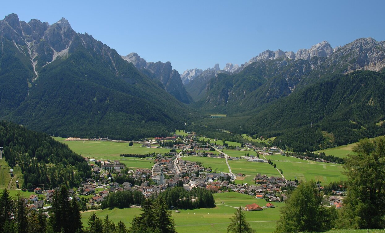
Monte Rota offers a beautiful view on the Dolomites and the Valle di Landro.

Monte Rota/Ratsberg is located above Toblach/Dobbiaco with a beautiful view of the village and the Dolomites.

Route info
Intermediate
Distance
4,5 km
Activity time
2 h 00 min
Ascent
393 m
Descent
5 m
Physical effort
Scenary
Highest point
1.626 m
Lowest point
1.233 m
Directions

From the center of Toblach/Dobbiaco the trail no. 11 leads to Aufkirchen/Santa Maria, a fraction of Toblach. Bevore the church begins the trail no. 7B, which leads up to the Ratsberg/Monte Rota. This path crosses the street several times.

public transportation
Accessible by public transport. The timetables are available on www.sii.bz.it.
How to get there
Where to park

Parking places are available.

You might be interested in
Discover related tours
Toblach
Summer hiking tour: Toblach/Dobbiaco - Fontanta "ZweiWasserBrunnen" - labyrinth
Distance 3,3 km
Activity time 2 h 00 min
Ascent 182 m
Descent 66 m
Paul Grohmann | © © TvToblach, Dobbiaco
Intermediate
Add to favourites
Toblach
Summer hiking tour: Sentiero Paul Grohmann Weg
Distance 11,5 km
Activity time 4 h 11 min
Ascent 1.068 m
Descent 148 m
War cimitery Burg | © Kottersteger, San Candido
Intermediate
Add to favourites
Sexten, Innichen
Hike: War cemetery "Burg" - Capella del bosco - Sesto/"Burg"-Waldkapelle-Sexten
Distance 8,0 km
Activity time 3 h 00 min
Ascent 362 m
Descent 227 m
Innerfeldtal valley | © TV Sexten, Sesto
Intermediate
Add to favourites
Innichen, Sexten
Mountain hike: Crossing Innerfeldtal/ Val Campo di Dentro - Fischleintal/ Val Fiscalina
Distance 11,6 km
Activity time 4 h 25 min
Ascent 210 m
Descent 210 m
Lake Prags/Braies - Hochalmhütten | © Kotter Steger, Braies
Intermediate
Add to favourites
Pragser Tal
Summer hiking tour - Lago di Braies/Pragser Wildsee - Alpine hut "Malga Colle Alti/Hochalmhütte"
Distance 6,9 km
Activity time 2 h 33 min
Ascent 659 m
Descent 23 m
Gsellwiesen | © Harald Wisthaler, Sesto
Intermediate
Add to favourites
Sexten
Hike: East Gsellrunde
Distance 10,1 km
Activity time 4 h 00 min
Ascent 645 m
Descent 645 m