Top

Summer hiking tour: View of the Three Peaks/Landro - Drei Zinnen Hütte/Rifugio Locatelli hut

Toblach
Add to favourites
Category
Difficulty
Difficult
Activity time
3:30
Duration in hours
Distance
7.8
Distance in km
Suggested period
Jan
Feb
Mar
Apr
May
Jun
Jul
Aug
Sep
Oct
Nov
Dec
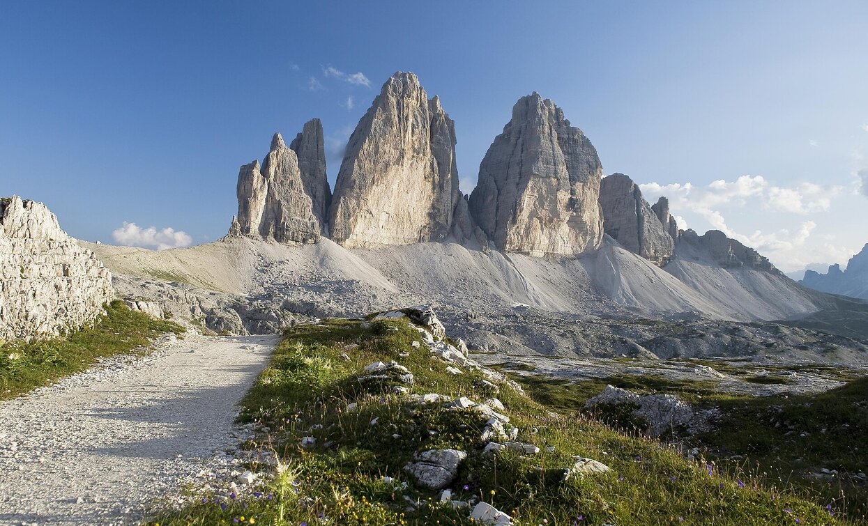
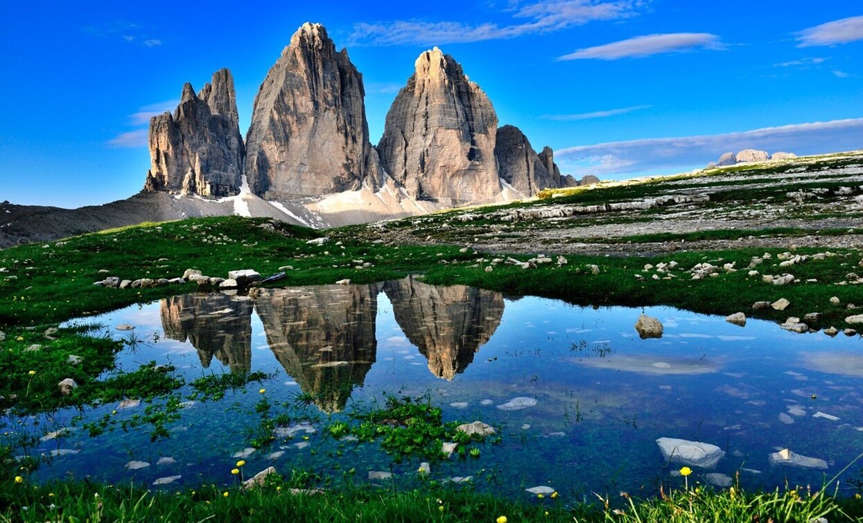
The demanding hike leads through the Rienztal to the Dreizinnenhütte. What is special about it is that at the beginning you only see the peaks and you get closer and closer to it.


The hike starts at the Vista Tre Cime and continues through the Valle di Rienza up to what is probably the most famous peak in the Dolomites, up to the Locatelli hut, from which you have an optimal view of the Three Peaks. The hike is considered a challenging alternative to the hiking trails from Misurina and the Fondovalle-hut of Sesto.

Route info
Difficult
Distance
7,8 km
Activity time
3 h 30 min
Ascent
973 m
Descent
27 m
Physical effort
Scenary
Highest point
2.348 m
Lowest point
1.403 m
Directions

The hiking tour starts at the view of the Three Peaks/Landro. There you have for the first time an unforgettable, view of the north face of the Three Peaks. The path no. 102 goes in eastbound direction through the Rienztal/Valle della Rienza valley. The steeper path continues on serpentine up the valley, through mountain pines and on stone steps, to the grassy "Rienzboden". From there the path is again easier and leads to the RDrei Zinnen Hütte/Rifugio Locatelli hut.

public transportation

Accessible by public transport. The timetables are available on www.sii.bz.it.

How to get there

How to reach Toblach/Dobbiaco: https://www.drei-zinnen.info/en/dobbiaco/dobbiaco/contact-and-service/arrival-mobility.html

From Toblach in southern direction until the View of the Three Peaks/Landro.

Where to park

Parking places are available.

You might be interested in
Discover related tours
Val Campo di Dentro / Innerfeldtal - Rif. Tre Scarperi / Dreischusterhütte | © Tourismusverein Innichen, San Candido
Intermediate
Add to favourites
Sexten, Innichen
Snowshoe hike: Val Campo di Dentro/Innerfeldtal Valley
Distance 11,3 km
Activity time 3 h 30 min
Ascent 369 m
Descent 369 m
Sexten
Hiking path with buggy: Sesto/Moso – Valley Fiscalina – Fondo Valle hut
Distance 6,6 km
Activity time 2 h 15 min
Ascent 230 m
Descent 230 m
Golfen | © @TVToblach, Dobbiaco
Intermediate
Add to favourites
Toblach
Summer hiking tour: Franadega/Frondeigen- Monte Calvo/Golfen
Distance 5,4 km
Activity time 2 h 30 min
Ascent 834 m
Descent 9 m
Gandelle/Kandellen | © © DreiZinnenMarketing/M.Schönegger, Dobbiaco
Intermediate
Add to favourites
Toblach
Summer hiking tour: Toblach/Dobbiaco - Frondeigen/Franadega
Distance 4,8 km
Activity time 2 h 00 min
Ascent 400 m
Descent 0 m
Hike to the Lärchenhütte hut | © ©Wisthaler Harald, Sesto
Intermediate
Add to favourites
Sexten
Hike: Sexten - to the Lärchenhütte hut
Distance 6,1 km
Activity time 2 h 14 min
Ascent 583 m
Descent 48 m
Monte Pra della Vacca | © Steiner Erwin, Braies
Intermediate
Add to favourites
Pragser Tal
Summer hiking - Lago di Braies/Pragser Wildsee - Mountain "Monte Pra della Vacca/Kühwiesenkopf"
Distance 3,4 km
Activity time 2 h 01 min
Ascent 641 m
Descent 0 m