Top

Summer hiking tour: View of the Three Peaks/Landro - Strudelkopf/Monte Specie

Toblach
Add to favourites
Category
Difficulty
Difficult
Activity time
3:00
Duration in hours
Distance
5.6
Distance in km
Suggested period
Jan
Feb
Mar
Apr
May
Jun
Jul
Aug
Sep
Oct
Nov
Dec
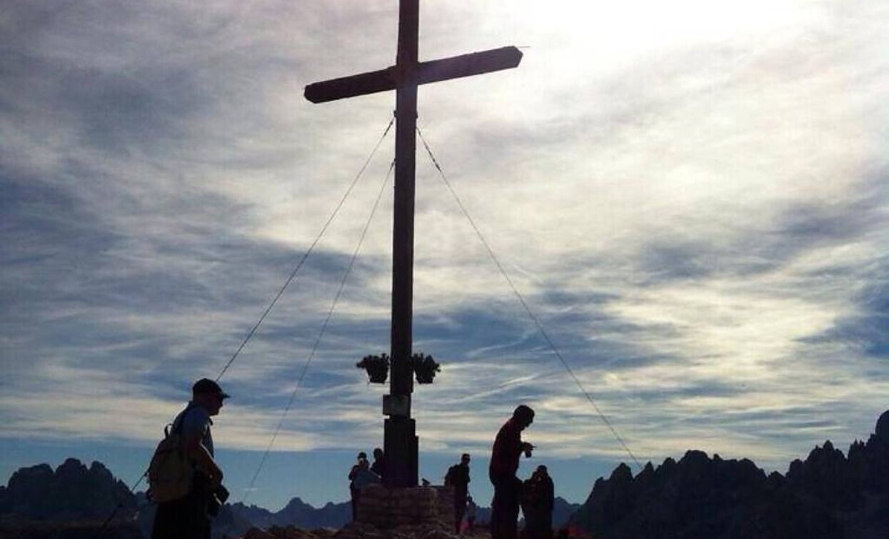
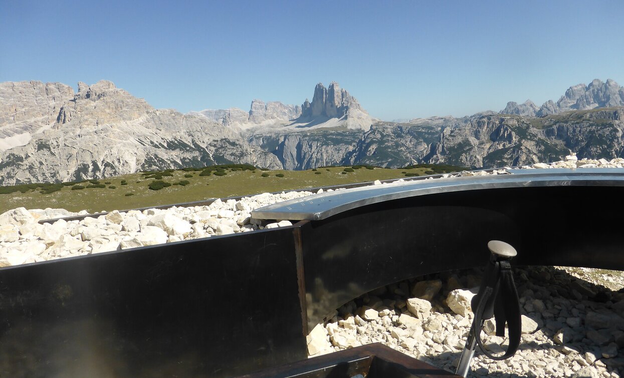
The Strudelkopf offers a great view of the surrounding peaks including the Drei Zinnen, and there is also a viewing platform.

On the top of the Strudelkopf/Monte Specie there is located a viewing platform which indicates all the names of the mountain ranges and the mountain summits visible all round.

Route info
Difficult
Distance
5,6 km
Activity time
3 h 00 min
Ascent
1.033 m
Descent
132 m
Physical effort
Scenary
Highest point
2.305 m
Lowest point
1.400 m
Directions

Starting from the view of the Three Peaks/Landro in Toblach/Dobbiaco the path no. 34 takes towards the Helltal/Val Chiara uphill through the forest. The hike continues on an old military path from the First World War which is exposed but secured by a wire cable. Further it passes at the ruins of the Oberhammer hut (ruin) from where it goes on the left side to the Strudelkopf/Monte Specie.

public transportation

Accessible by public transport. The timetables are available on www.sii.bz.it.

How to get there

How to reach Toblach/Dobbiaco: https://www.drei-zinnen.info/en/dobbiaco/dobbiaco/contact-and-service/arrival-mobility.html

From Toblach in southern direction until the View of the Three Peaks/Landro.

Where to park

Parking places are available.

You might be interested in
Discover related tours
Innichen
Family hike: Rifugio Gigante Baranci/Riese Haunold Hütte Mountain Hut
Distance 2,8 km
Activity time 50 min
Ascent 314 m
Descent 0 m
Status
Closed
Sexten
Hiking path: Moso – Gasthof Froneben
Distance 1,5 km
Activity time 25 min
Ascent 215 m
Descent 215 m
Toblach, Niederdorf
Circular hike: Niederdorf/Villabassa - Lanaweg
Distance 5,4 km
Activity time 1 h 37 min
Ascent 232 m
Descent 232 m
Baranci | © Kottersteger, San Candido
Intermediate
Add to favourites
Innichen
Hike: Pausa Ganda/Gantraste Peak
Distance 11,3 km
Activity time 4 h 30 min
Ascent 951 m
Descent 951 m
Monte Elmo | © Harald Wisthaler, Sesto
Intermediate
Add to favourites
Sexten
Hiking path: Restaurant Monte Elmo – Gallo Cedrone hut
Distance 1,0 km
Activity time 26 min
Ascent 99 m
Descent 99 m
Almenwanderung | © Manuel Kottersteger, Sesto
Intermediate
Add to favourites
Sexten
Hike: To the alpine pastures
Distance 25,0 km
Activity time 5 h 30 min
Ascent 1.062 m
Descent 1.062 m