Summer-Walk around Niederdorf/Villabassa - Pian di Maia - Toblacher See Lake - Niederdorf/Villabassa
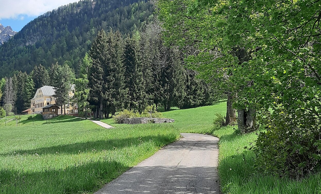
The hike begins at the train station building of Villabassa and takes you past the historic spa town of Bad Maistatt, a place rich in history and natural healing springs. From there, you continue to the charming Toblach Lake, whose shores invite you to pause, relax, and marvel at the surroundings.
Around the lake winds an engaging nature discovery trail with eleven thoughtfully designed stations offering valuable insights into the area’s diverse flora, fauna, and geological history. Here, nature truly comes alive.
A highlight of the route is the observation platform on the western shore of the lake, which, with its peaceful ambiance, invites you to rest and enjoy breathtaking views of the wildlife, plant life, and the lake’s sedimentation zone — a true gem for nature lovers and photographers alike.
The return path leads comfortably through lively Toblach and the popular Camping Olympia before bringing you back to Villabassa. Along the way, you can breathe in the fresh mountain air and fully enjoy the varied and captivating landscape.
This hike perfectly combines nature appreciation, educational insights, and relaxation in a breathtaking setting — ideal for anyone looking to escape everyday life and recharge their energy.
- Accessibility
- Round trip
- Family-friendly
Niederdorf/Villabassa is easily accessible by public transport, such as buses and trains. Timetables are available at https://suedtirolmobil.info/en/
The starting point is located at the train station of Villabassa. It is easily accessible by public transport: https://suedtirolmobil.info/en/


