Top

Summer-walk around the Drei Zinnen/Tre Cime (Three Peaks)

Toblach
Add to favourites
Category
Difficulty
Easy
Activity time
4:00
Duration in hours
Distance
8.8
Distance in km
Status
Closed
Suggested period
Jan
Feb
Mar
Apr
May
Jun
Jul
Aug
Sep
Oct
Nov
Dec
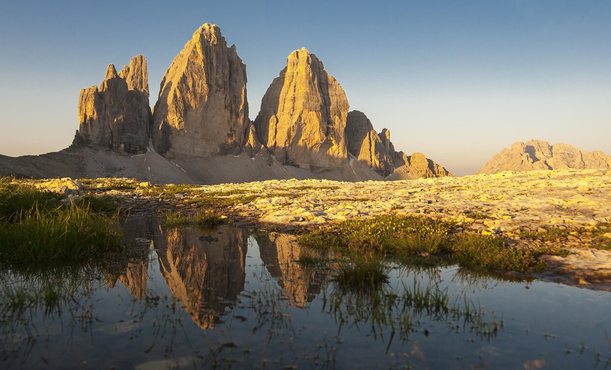
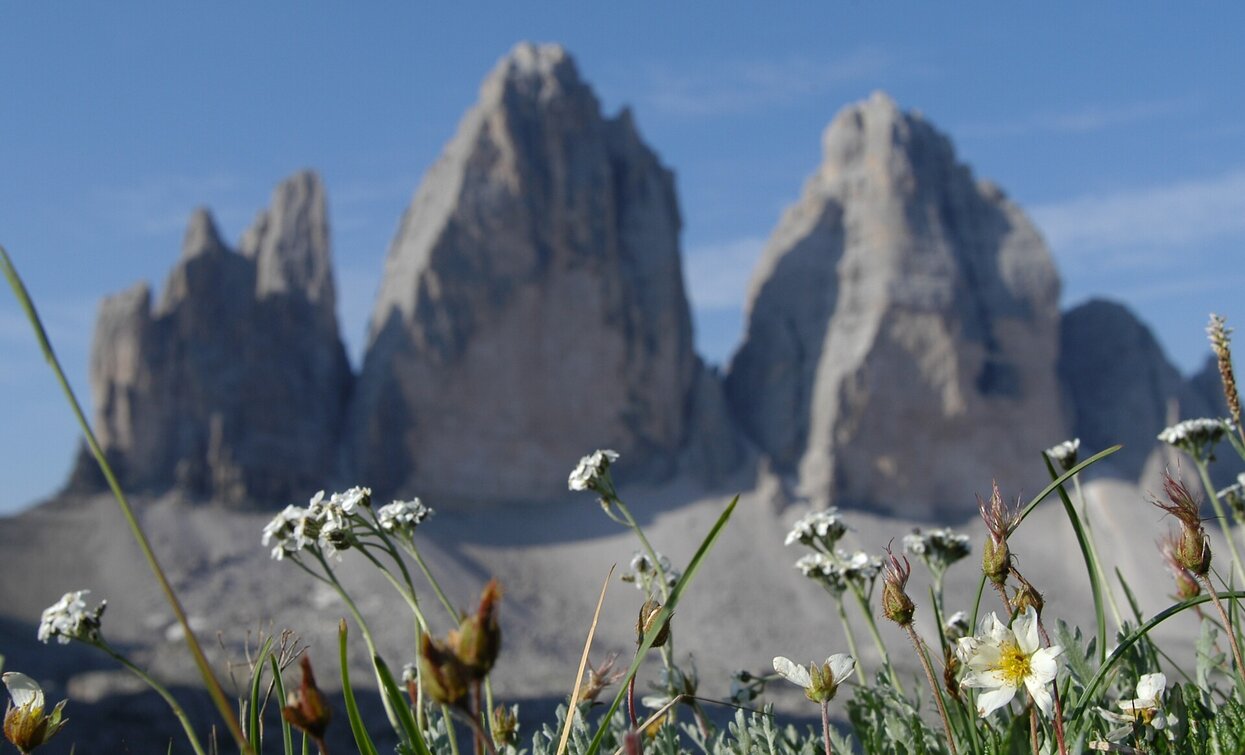
The Drei Zinnen are probably the most famous mountain formation in the world and even the circular hike is possible. You always have the famous battlements in view.

The Three Peaks are the symbol of the holiday region 3 Zinnen in the Dolomites: They belong to the most famous mountains of the Dolomites. The Dolomites were declared a UNESCO World Heritage Site in 2009. This is a very special accolade that confirms not only the globally unique character and incomparable beauty of this mountainous landscape, but also its integrity.

Route info
Easy
Distance
8,8 km
Activity time
4 h 00 min
Ascent
383 m
Descent
383 m
Physical effort
Scenary
Highest point
2.451 m
Lowest point
2.169 m
Directions

From the Auronzohütte/Rifugio Auronzo hut, on the south side of the Three Peaks, the mountain trail no. 101 passes at the Lavaredo hut (2,344 m) and climbs gradually up to the Paternsattel/Forcella Lavaredo (2,454 m). Here you will catch the first stunning glimpse of the 500-metre-high north faces of the Three Peaks (approx. 1 hour to here; recommended even for inexperienced hikers). Descending slightly the trail crosses beneath the Paternkofel/Monte Paterno mountain to the next fork:
a) an easy climb up to the Dreizinnenhütte/Rif. Locatelli hut (2,405 m)
b) at the left, the trail no. 105 continues to the Lange Alpe hut an further on to the Lange Alpe lake. The walk continues at the western side of the Three Peaks to the starting point.

public transportation

Accessible by public transport. The timetables are available on www.sii.bz.it.

How to get there

How to reach Toblach/Dobbiaco: https://www.drei-zinnen.info/en/dobbiaco/dobbiaco/contact-and-service/arrival-mobility.html

From Toblach  in southern direction to Misurina and further on to the Aurzonzohütte/Rifugio Auronzo hut under the Three Peaks.

Where to park

Parking places are available.

You might be interested in
Discover related tours
Innichen, Sexten
Excursions with buggy: Sesto – Innerfeldtal/ Val Campo di Dentro
Distance 9,8 km
Activity time 1 h 35 min
Ascent 360 m
Descent 360 m
Welsberg/Monguelfo - Lake Prags/Braies | © Kotter Steger, Braies
Intermediate
Add to favourites
Pragser Tal
Summer hiking - Monguelfo - Lago di Braies
Distance 11,3 km
Activity time 3 h 25 min
Ascent 479 m
Descent 74 m
Sexten
Hiking path: Moso – Gasthof Froneben
Distance 1,5 km
Activity time 25 min
Ascent 215 m
Descent 215 m
Pragser Tal
Summer hiking - Monte di Braies/Pragser Berg
Distance 3,4 km
Activity time 1 h 05 min
Ascent 195 m
Descent 73 m
Toblach, Sexten, Innichen
Hike: Val campo di Dentro- Forcella del lago (2.545 m) - Valle di Landro Innerfeld - Lückeleschartl 2.545 m - Höhlensteintal
Distance 15,9 km
Activity time 5 h 30 min
Ascent 989 m
Descent 989 m
Status
Closed
Lake Prags/Braies - Hochalmhütten | © Kotter Steger, Braies
Intermediate
Add to favourites
Pragser Tal
Summer hiking tour - Lago di Braies/Pragser Wildsee - Alpine hut "Malga Colle Alti/Hochalmhütte"
Distance 6,9 km
Activity time 2 h 33 min
Ascent 659 m
Descent 23 m
Status
Closed