Category
Difficulty
Easy
Activity time
0:59
Duration in hours
Distance
3.6
Distance in km
Status
Closed
Suggested period
Jan
Feb
Mar
Apr
May
Jun
Jul
Aug
Sep
Oct
Nov
Dec
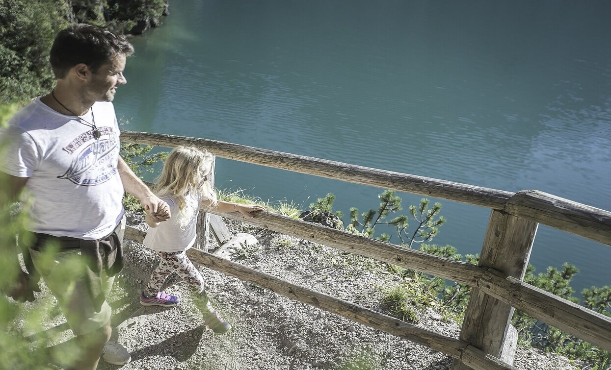
The excursion around the pearl of the Dolomites crosses a small chapel. Part of the circuit is practicable through a stair path. Croda del Becco / Seekofel Peak is marvelously reflected in the lake. Walking time: 1 hour Sign-post: No. 1, 19
Tags
- Out and back
- Family-friendly
Route info
Easy
Distance
3,6 km
Activity time
59 min
Ascent
86 m
Descent
86 m
Physical effort
Scenary
Highest point
1.528 m
Lowest point
1.491 m
public transportation
You can find all information about public transport on the website https://www.suedtirolmobil.info/en/#/
How to get there
Valley entrance Braies – road junction to Braies lake – continue until Braies lake.
You can find all the information you need about accessibility on the website www.braies.bz
Where to park
In front of Pragser Wildsee Lake you will find three paid parking spaces (800m, 400m and 200m beforehand).
You might be interested in
Discover related tours


