Category
Difficulty
Easy
Activity time
0:31
Duration in hours
Distance
1.9
Distance in km
Status
Closed
Suggested period
Jan
Feb
Mar
Apr
May
Jun
Jul
Aug
Sep
Oct
Nov
Dec
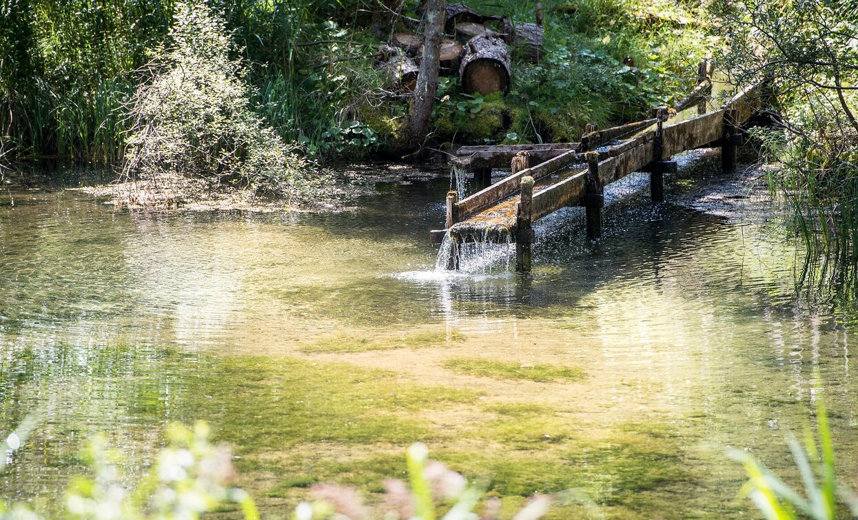
The approximately 1,5 kilometer long lern-path is easily passable and pass by the fishpond of Bagni di Braies Vecchia/Bad Altprags. Along the path explain many informationsboards the main characteristics of the spring. Walking time: 1 hour Sign-post: No. 37
Tags
- Linear route
- Family-friendly
Route info
Easy
Distance
1,9 km
Activity time
31 min
Ascent
46 m
Descent
38 m
Physical effort
Scenary
Highest point
1.409 m
Lowest point
1.363 m
public transportation
You can find all information about public transport on the website https://www.suedtirolmobil.info/en/#/
How to get there
Valley entrance Braies – road junction to Prato Piazza – continue until Braies Vecchia/Altprags.
You can find all the information you need about accessibility on the website www.braies.bz
Where to park
At Braies Vecchia/ Altprags near the ski lift you can find a parking space.
You might be interested in
Discover related tours


