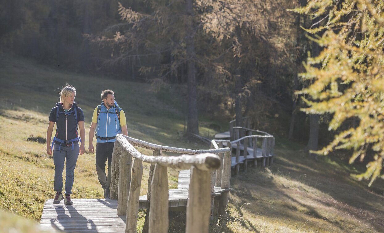
Theme hike: mountain station Helmjet cable car – Jägerhütte hut – Gasthof Waldruhe - Sexten
Sexten, Innichen
Add to favouritesDifficulty
Easy
Activity time
1:30
Duration in hours
Distance
5.1
Distance in km
Status
Closed
Suggested period
Jan
Feb
Mar
Apr
May
Jun
Jul
Aug
Sep
Oct
Nov
Dec
Hiking and enjoyment on Sexten’s sunny side
- Stops at traditional mountain huts
- Magnificent views of the Sexten Dolomites
- A varied trail through the forest and later across meadows and pastures
Tags
- Linear route
Route info
Easy
Distance
5,1 km
Activity time
1 h
30 min
Ascent
2 m
Descent
752 m
Technical skills
Physical effort
Scenary
Highest point
2.052 m
Lowest point
1.301 m
Directions
The starting point of the hike is the car park at the Helmjet Sexten cable car, from where you can comfortably take the gondola up to the mountain station. From there, the varied “Fairy Trail” (trail no. 4) leads to the Jägerhütte hut (1802 m). The route then continues along trail no. 2 across the Wetzwiesen to the Gasthof Waldruhe (1580 m) on the Außerberg. The return path initially follows the asphalt road towards Sexten. At the Egarter farm, turn right onto the meadow path no. 2A, which leads to the Gols farms and then to the Hösler farms. From there, you can reach the center of Sexten (church) either via a streamside path or along the paved road.
public transportation
Line 446, bus stop Sexten Helm; alternatively, during the high season, also line 440.
How to get there
Coming from the Pustertal valley, turn into the Sexten valley in Innichen. If arriving from the Kreuzberg pass, follow the main road until you reach Sexten. The start is located at the Haus der Berge, Dolomitenstraße 45A.
Where to park
Parking available at the Helmjet Sexten (parking fees apply after 4 hours during peak season).
You might be interested in
Discover related tours


