to the ski area
Top

Theme path: Monte Piano - Museum of the 1st World War

In the surrounding area
Add to favourites
Category
Difficulty
Intermediate
Activity time
0:30
Duration in hours
Distance
1
Distance in km
Suggested period
Jan
Feb
Mar
Apr
May
Jun
Jul
Aug
Sep
Oct
Nov
Dec
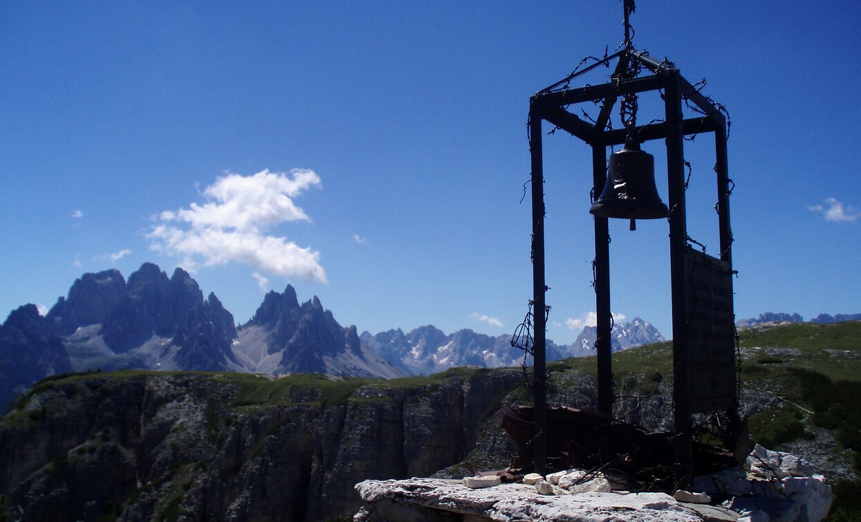
The hiking trail gives an interesting insight into the history of the Dolomites.
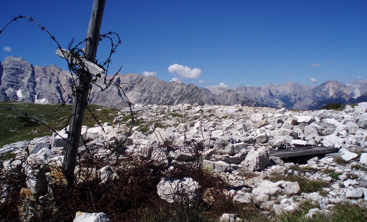
The Open Air Museum on the Monte Piano of the First World War  is one of the most important witness of the battles between Austria and Italy in the years 1915-1917. It consists of trench warfares, tunnels and emplacements.

On June 7, 1915, Monte Piana was taken by Austrian soldiers and fortified despite Italian resistance. A little later, the Italians managed to take its southern side. Since the border between Italy and the Habsburg Monarchy of Austria-Hungary ran right through Monte Piana, both sides wanted to hold onto this strategically important mountain. A bloody trench warfare lasting two years followed, which was ultimately not to bring about any decisive change.

Route info
Intermediate
Distance
1,0 km
Activity time
30 min
Ascent
130 m
Descent
17 m
Physical effort
Scenary
Highest point
2.324 m
Lowest point
2.205 m
You might be interested in
Discover related tours
San Pietro in Monte | © @TVToblach, Dobbiaco
Intermediate
Add to favourites
Toblach
Theme path: Pilgrim path St. Peter am Kofel/San Pietro in Monte
Distance 2,1 km
Activity time 2 h 00 min
Ascent 198 m
Descent 198 m
Pragser Tal
Theme path to the Pragser WIldsee lake: "Viktor Wolf Edler von Glanvell"
Distance 4,8 km
Activity time 1 h 33 min
Ascent 298 m
Descent 22 m
Toblach
Theme path: Gustav-Mahler circular path
Distance 4,7 km
Activity time 2 h 00 min
Ascent 72 m
Descent 72 m
Pragser Tal
Theme path: Sorgente "Maite"/Quellenweg
Distance 1,9 km
Activity time 31 min
Ascent 46 m
Descent 38 m
Toblach
Theme path: The story of the Höhlensteintal/Val di Landro valley
Distance 0,6 km
Activity time 30 min
Ascent 0 m
Descent 5 m
Innichen, Sexten
Theme path: Olperl alpine circuit for families
Distance 3,2 km
Activity time 1 h 00 min
Ascent 154 m
Descent 154 m