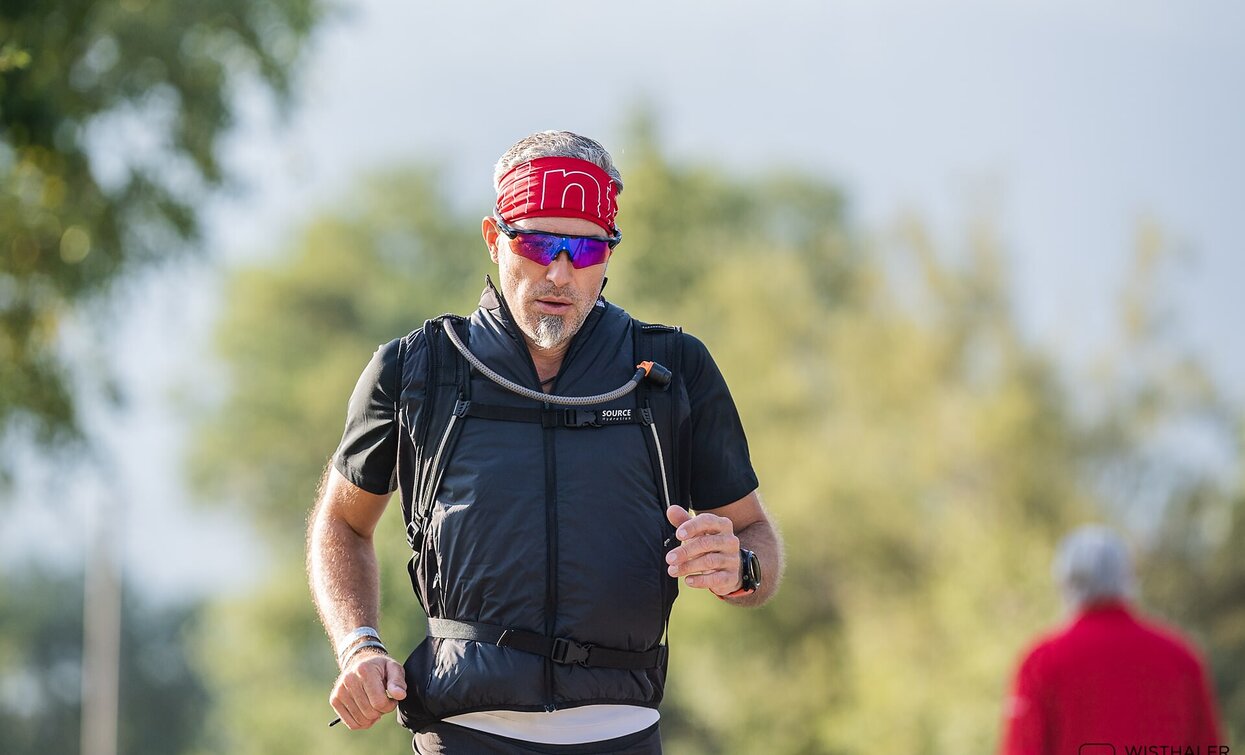
Trailrunning: Sexten - Innichen

Sexten, Innichen
Add to favourites
Difficulty
Easy
Activity time
1:40
Duration in hours
Distance
7.4
Distance in km
Suggested period
Jan
Feb
Mar
Apr
May
Jun
Jul
Aug
Sep
Oct
Nov
Dec

It is a forest path of cosiness, no altitude difference and no special impulses. You will always have the village of Sesto on your right. From the reservoir through the forest to San Candido.

Route info
Easy
Distance
7,4 km
Activity time
1 h 40 min
Ascent
60 m
Descent
225 m
Physical effort
Scenary
Highest point
1.310 m
Lowest point
1.180 m
Directions
From Moos you follow the stream to Sexten. Continuing along the cycle path, the route takes you comfortably along asphalt or gravel roads to San Candido. For the way back it is best to take the bus 446.
You might be interested in
Discover related tours
Toblach
Bonner Hut
Distance 4,1 km
Activity time 2 h 20 min
Ascent 724 m
Descent 0 m
Toblach, Sexten
Südtirol Drei Zinnen Alpine Run
Distance 16,3 km
Activity time 3 h 30 min
Ascent 1.100 m
Descent 1.100 m
Sexten
Trailrunning: Moos – Signaue - Polmstott - Moos
Distance 1,6 km
Activity time 30 min
Ascent 83 m
Descent 80 m
Fischleintal | © Harald Wisthaler, Sesto
Intermediate
Add to favourites
Sexten
Trailrunning: Sexten – Fischleintal valley – Talschlusshütte hut
Distance 6,6 km
Activity time 1 h 50 min
Ascent 220 m
Descent 220 m