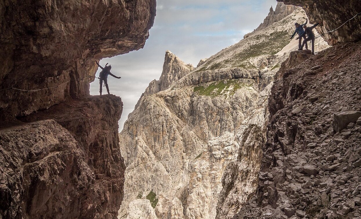
Via ferrata: Alpinisteig

Sexten
Add to favourites
Category
Difficulty
Difficult
Activity time
7:00
Duration in hours
Distance
14.2
Distance in km
Suggested period
Jan
Feb
Mar
Apr
May
Jun
Jul
Aug
Sep
Oct
Nov
Dec

The Alpinisteig is a well-maintained mountain climbing trail dating from the First World War which shows just how well constructed these former military trails were. The section between the Elfer- and Sentinellascharte gaps is very icy even in summer, so crampons, pickaxes and ropes are essential.
Starting point: Zsigmondyhütte mountain hut
Map/literature: Tabacco no. 010

Only walkable if the current weather conditions are good. WARNING: The GPX data may differ from reality.

before departure: check the equipment, the weather conditions and the accessibility

Route info
Difficult
Distance
14,2 km
Activity time
7 h 00 min
Ascent
600 m
Descent
900 m
Physical effort
Scenary
Highest point
2.644 m
Lowest point
1.451 m
Directions

"The Alpinisteig is a well-maintained mountain climbing trail dating from the First World War which shows just how well constructed these former military trails were. The section between the Elfer- and Sentinellascharte gaps is very icy even in summer, so crampons, pickaxes and ropes are essential.
Starting point: Zsigmondyhütte mountain hut
Map/literature: Tabacco no. 010"

Only walkable if the current weather conditions are good. WARNING: The GPX data may differ from reality.

Attention: The section 11er Scharte – Sentinella Pass is still closed.

public transportation
Take bus route 446 or 440 to Fischleinboden
How to get there

You have to start in the Valley Fiscalina.

Where to park
At the public car parks
You might be interested in
Discover related tours
Toblach
Via ferrata: Monte Piana - Hauptmann-Bilgeri
Distance 6,4 km
Activity time 6 h 00 min
Ascent 1.049 m
Descent 146 m
Dolomiti senza confini | © TV_Sexten_©nicolabombassei2018, Sesto
Intermediate
Add to favourites
Sexten
Via ferrata: Dolomites without borders - stage 9 - Filmoor-Standschützenhütte - Rif. Lunelli
Distance 20,3 km
Activity time 9 h 00 min
Ascent 1.200 m
Descent 1.600 m
Sexten
Via Ferrata: Croda Rossa
Distance 10,3 km
Activity time 5 h 30 min
Ascent 1.758 m
Descent 782 m
Status
Closed
Via ferrata | © Alpinschule Drei Zinnen Sexten, Sesto
Intermediate
Add to favourites
Toblach, Innichen
Via Ferrata: Torre di Toblin
Distance 4,9 km
Activity time 3 h 00 min
Ascent 445 m
Descent 196 m
Alpinisteig | © Daniel Rogger, Sesto
Intermediate
Add to favourites
Sexten
Via ferrata: Dolomites without borders - stage 4 – Rif. Comici - Rif. Prati di Croda Rossa/Rif. Rudi
Distance 9,1 km
Activity time 7 h 00 min
Ascent 600 m
Descent 900 m
Status
Closed
Paternkofel | © Manfred Kostner, Sesto
Intermediate
Add to favourites
Toblach, Sexten
Via Ferrata: Paternkofel
Distance 5,3 km
Activity time 3 h 00 min
Ascent 728 m
Descent 311 m