Approach
From the passo Monte Croce 1.636m
450 m – 1,5 hrs
From the passo, take path no. 124 southwards until you reach Forcella Plan della Biscia (1,942 m) next to Cima Colesei. From there you continue along the old and wide road from the war. A few hundred meters after a prominent curve, you will find a sign and a small stone man. From there you turn left (2.010m) to arrive to the attack of the via ferrata. This climb is not yet well trodden on, but is marked with red dots. It is advisable to wear a helmet in advance, as in the last section you are just below the via ferrata and therefore exposed to a greater risk of falling rocks.
From the Lunelli hut 1.568m
510 m – 1,5 hrs
From the hut you climb up to the Forcella Plan della Biscia (1,942 m) via path no. 171 or alternatively via the wide path no. 155. From there you continue along the old and wide road from the war. A few hundred meters after a prominent curve, you will find a sign and a small stone man. From there you turn left (2.010m) to arrive to the attack of the via ferrata. This climb is not yet well trodden on, but is marked with red dots. It is advisable to wear a helmet in advance, as in the last section you are just below the via ferrata and therefore exposed to a greater risk of falling rocks.
Route description
2,5 hrs – level C/D
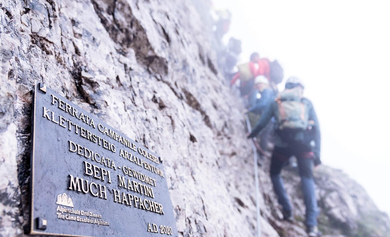
The entrance is located in a small rubble chute in which the steel cable begins. The path starts off in the same demanding way (D) and then follows a steep rock pillar (C/D) with quite homogeneous difficulty.
After the first difficult third, it continues in easier terrain (A/B) until you reach the ridge of the Arzalpenturm after a traverse (C) and a steep step (C/D).
Crossing the ridge, one reaches a small saddle next to the actual summit of the Campanile Colesei. Here, there is a one-way regulation. The actual summit of the tower can only be reached with an additional variant. One climbs down from the saddle along the steel cable south (C). Soon one reaches a junction with the variant. If you like, you can climb the Campanile Colesei (C/D) and get back to this point in one round. From the junction, follow the path downwards to a saddle (C) from where the steel cable on the opposite side climbs up to the plateau of the Croda Sora I Colesei (C).


