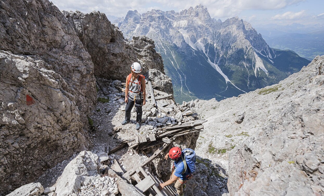
Meadows of the Croda Rossa – Costoni Croda Rossa - Croda Rossa Peak– Castelliere – Meadows of the Croda Rossa Description: an easy via ferrata with a few exposed places, all the path is good secured. The most part of the via ferrata is to hike and you have wonderful views. You can combine this via ferrata with the Strada degli Alpini (nr. 3) and/or the Ferrata Zandonella (nr. 2). Indications: red-white-red with the nr. 100, via ferrata red triangles, return to the Castelliere with nr. 15B Highlights: panorama from the Croda Rossa peak to the peak of the Tre Scarperi, Croda dei Toni, Cima Undici, Monte Popera Starting point: Meadows of the Croda Rossa (1914m). Duration: total 5 ¾ hours, ascent 3 ½ hours, descent 2 ¼ hours Diffrence of altitude: ca. 1000m
Only walkable if the current weather conditions are good. WARNING: The GPX data may differ from reality. For information your contact is the Alpinschule Sexten Drei Zinnen +39 0474 710375 info@alpinschule-dreizinnen.com
Before departure: check the equipment, the weather conditions and the accessibility
- Linear route
Meadows of the Croda Rossa – Costoni Croda Rossa - Croda Rossa Peak– Castelliere – Meadows of the Croda Rossa Description: an easy via ferrata with a few exposed places, all the path is good secured. The most part of the via ferrata is to hike and you have wonderful views. You can combine this via ferrata with the Strada degli Alpini (nr. 3) and/or the Ferrata Zandonella (nr. 2). Indications: red-white-red with the nr. 100, via ferrata red triangles, return to the Castelliere with nr. 15B Highlights: panorama from the Croda Rossa peak to the peak of the Tre Scarperi, Croda dei Toni, Cima Undici, Monte Popera Starting point: Meadows of the Croda Rossa (1914m). Duration: total 5 ¾ hours, ascent 3 ½ hours, descent 2 ¼ hours Diffrence of altitude: ca. 1000m
Only walkable if the current weather conditions are good. WARNING: The GPX data may differ from reality. For information your contact is the Alpinschule Sexten Drei Zinnen +39 0474 710375 info@alpinschule-dreizinnen.com
Croda Rossa


