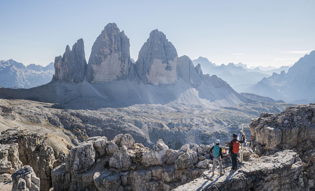
Via ferrata: Dolomites without borders - stage 3 - Three Peaks - Rif. Comici

Sexten, Toblach, Innichen
Add to favourites
Category
Difficulty
Intermediate
Activity time
8:00
Duration in hours
Distance
9.7
Distance in km
Status
Closed
Suggested period
Jan
Feb
Mar
Apr
May
Jun
Jul
Aug
Sep
Oct
Nov
Dec

"DOLOMITES WITHOUT BORDERS" - The project was born out of the idea that the Dolomites should no longer be a barrier but a place of meeting and friendship. A high-altitude trekking route including 12 „via ferrata“ - each of them unique from alpine or historical points of view. They are interlinking Italy with Austria. The project extends over the areas of the Cadore and the Hochpustertal, area of the Drei Zinnen all the way to the Tiroler Gailtal. "DOLOMITES WITHOUT BORDERS" runs partly along ancient warpaths, trenches and galleries, a "peace path" on former war sites. An Alpine experience for all mountain enthusiasts!

Route info
Intermediate
Distance
9,7 km
Activity time
8 h 00 min
Ascent
750 m
Descent
900 m
Physical effort
Scenary
Highest point
2.733 m
Lowest point
2.224 m
Directions

stage 3 - THREE PEAKS - RIF. COMICI/ZSIGMONDY

Starting point: Rifugio Pian di Cengia-Büllelejochhütte (2.528m), Rifugio Lavaredo-Hütte (2.344m), Rifugio Auronzo-Hütte (2.320m) or Rifugio Tre Cime A. Locatelli-Dreizinnenhütte (2.405m)

Via Ferrata: Torre di Toblin/Toblinger Knoten, De Luca-Innerkofler Monte Paterno/Paternkofel

Destination: Rifugio Comici/Zsigmondy (2.528m)

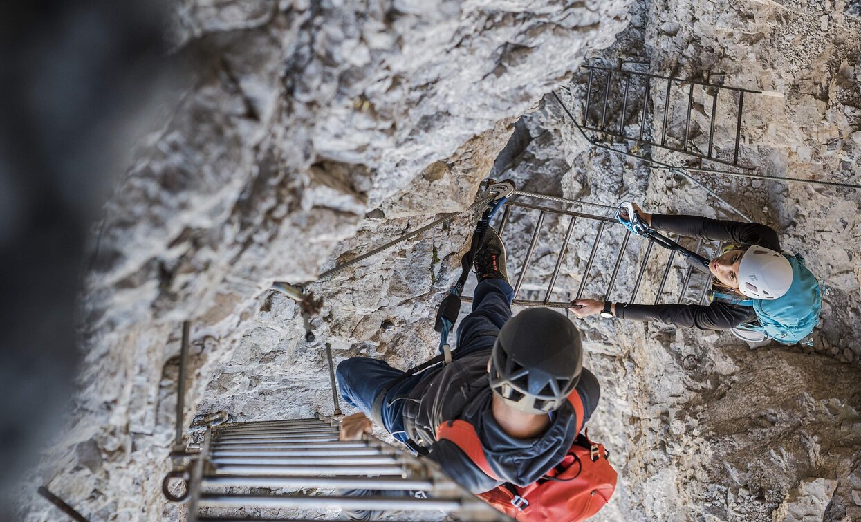
The „Torre di Toblin“ via ferrata offers a 360-degree panoramic view from the top. You return to refuge Tre Cime/Three Peaks and climb up the via ferrata of peace to the top of the „Monte Paterno“. Then descend to the „forcella del Camoscio“ and continue eastwards along the equipped path until you reach the refuge Pian di Cengia, then descent to refuge Zsigmondy/Comici.

You might be interested in
Discover related tours
Sexten
Via ferrata: Dolomites without borders - stage 9 - Filmoor-Standschützenhütte - Rif. Lunelli
Distance 20,3 km
Activity time 9 h 00 min
Ascent 1.200 m
Descent 1.600 m
Status
Closed
Toblach, Sexten
Via ferrata: Monte Paterno/Paternkofel
Distance 5,3 km
Activity time 4 h 30 min
Ascent 728 m
Descent 233 m
Status
Closed
Toblach
Via ferrata: Monte Piana - Hauptmann-Bilgeri
Distance 6,3 km
Activity time 6 h 00 min
Ascent 1.049 m
Descent 56 m
Status
Closed
Paternkofel | © Manfred Kostner, Sesto
Intermediate
Add to favourites
Toblach, Sexten
Via Ferrata: Paternkofel
Distance 5,3 km
Activity time 3 h 00 min
Ascent 728 m
Descent 311 m
Status
Closed
Via ferrata | © Alpinschule Drei Zinnen Sexten, Sesto
Intermediate
Add to favourites
Toblach, Innichen
Via Ferrata: Torre di Toblin
Distance 4,9 km
Activity time 3 h 00 min
Ascent 445 m
Descent 196 m
Status
Closed
Climbing Path Cima dei Colli Alti/Hochalpenkopf | © Tourismusverband Hochpustertal, Braies
Intermediate
Add to favourites
Pragser Tal
Climbing path "Cima dei Colli Alti/Hochalpenkopf"
Distance 4,3 km
Activity time 3 h 08 min
Ascent 1.044 m
Descent 0 m
Status
Closed