to the cable cars
Top

Via ferrata: Fanes Valley - G. Barbara

Add to favourites
Category
Difficulty
Intermediate
Activity time
3:00
Duration in hours
Distance
4
Distance in km
Suggested period
Jan
Feb
Mar
Apr
May
Jun
Jul
Aug
Sep
Oct
Nov
Dec
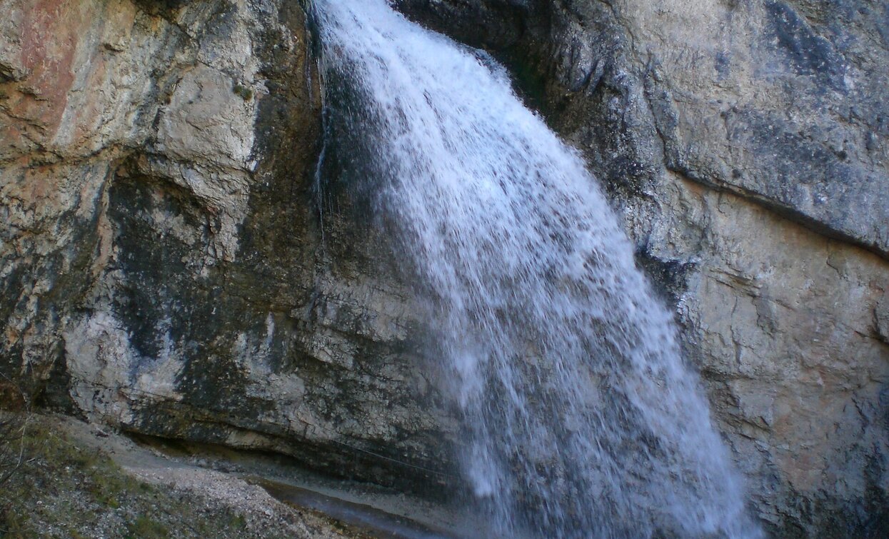
The short waterfall via ferrata is located in the Val di Fanes, which is just out of Cortina d'Ampezzo.
Route info
Intermediate
Distance
4,0 km
Activity time
3 h 00 min
Ascent
575 m
Descent
265 m
Physical effort
Scenary
Highest point
1.833 m
Lowest point
1.346 m
Directions

The starting point of the via ferrata is the Pian de Loa car park.
The fantastic hiking trail into the Val di Fanes leads over a bridge at a lofty height. The then short via ferrata leads past a waterfall to the river bed. From there the via ferrata leads past beautiful viewpoints and back to the hiking trail.

After you have circled the waterfall, you return to the Pian de Loa car park on the same route as you did on the way there. There is also the possibility to climb up to the viewing platform on the opposite side of the gorge and from there to get back to the starting point via a leisurely hiking trail.

WARNING: The GPX data may differ from reality.

public transportation

Accessible by public transport. The timetables are available on www.sii.bz.it.

How to get there

How to reach Toblach/Dobbiaco: https://www.drei-zinnen.info/en/dobbiaco/dobbiaco/contact-and-service/arrival-mobility.html

From Toblach in southern direction until the district Podestagno.

Where to park

Parking places are available.

You might be interested in
Discover related tours
Via ferrata: Tofana di Mezzo - Gianni Aglio
Distance 2,7 km
Activity time 3 h 45 min
Ascent 798 m
Descent 63 m
Via ferrata Toblinger Knoten | © 3 Zinnen Dolomites - Harald Wisthaler, Sesto
Intermediate
Add to favourites
Sexten, Toblach, Innichen
Via ferrata: Dolomites without borders - stage 3 - Three Peaks - Rif. Comici
Distance 9,7 km
Activity time 8 h 00 min
Ascent 750 m
Descent 900 m
Via ferrata: Sentiero Bonacossa
Distance 2,7 km
Activity time 3 h 00 min
Ascent 676 m
Descent 483 m
Via ferrata: Punta Anna - Giuseppe Olivieri
Distance 2,2 km
Activity time 4 h 00 min
Ascent 770 m
Descent 118 m
Via ferrata: Col dei Bos
Distance 1,4 km
Activity time 3 h 30 min
Ascent 488 m
Descent 6 m
Pragser Tal
Climbing path "Cima dei Colli Alti/Hochalpenkopf"
Distance 4,3 km
Activity time 3 h 08 min
Ascent 1.044 m
Descent 0 m