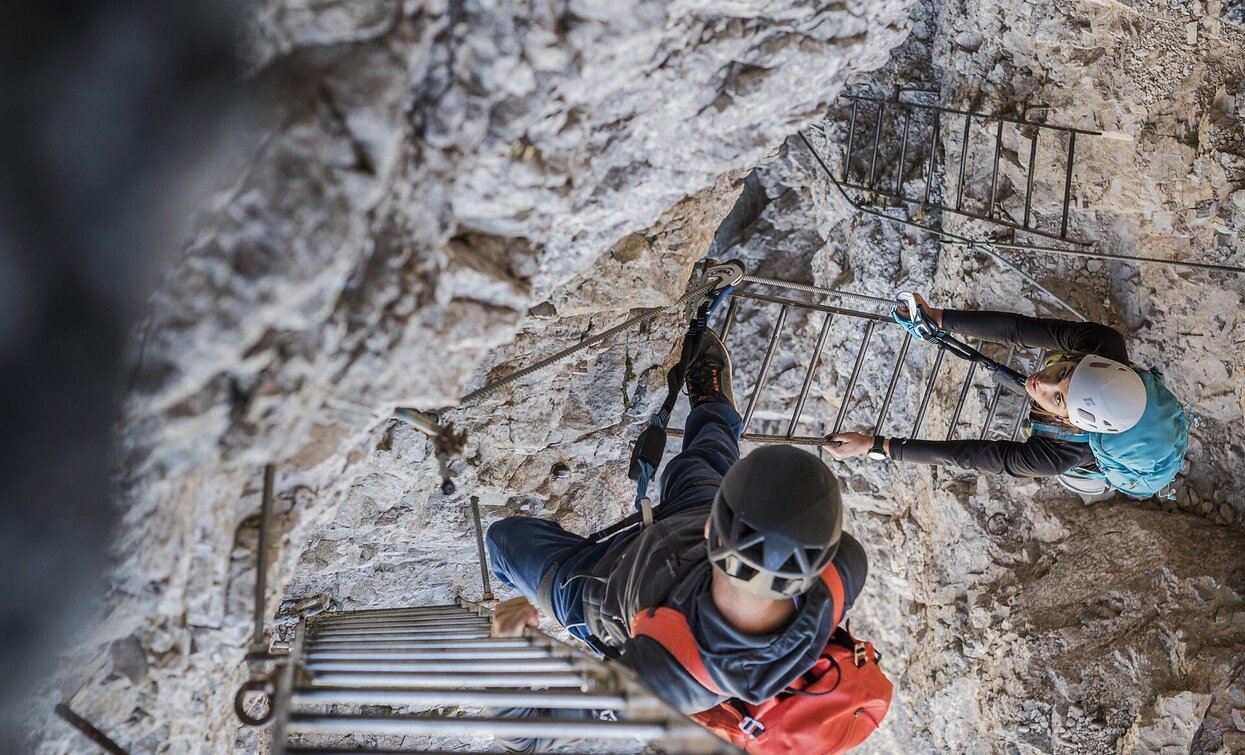
Rifugio Auronzo – Rifugio Locatelli – Path of the ladders - Torre di Toblin – return Description: repaired via ferrata with a lot of ladders (17 ladders!) and a wonderful round from the top of the Torre di Toblin. Reachable also from the Val Fiscalina or Val Campo di Dentro. Indications: Access and return red triangles, path nr. 101 and 105 Highlights: the ladders and naturally the view to the Three Peaks (Tre Cime) Starting point: Rif. Auronzo (2320m) Duration: total from the Rif. Auronzo 4 ½ hours, ascent 2 ¾ hours, descent 1 ¾ hours Diffrence of altitude: ca. 300m
Only walkable if the current weather conditions are good. WARNING: The GPX data may differ from reality. For information your contact is the Alpinschule Sexten Drei Zinnen +39 0474 710375 info@alpinschule-dreizinnen.com
Before departure: check the equipment, the weather conditions and the accessibility
- Completely cable-secured
Rifugio Auronzo – Rifugio Locatelli – Path of the ladders - Torre di Toblin – return Description: repaired via ferrata with a lot of ladders (17 ladders!) and a wonderful round from the top of the Torre di Toblin. Reachable also from the Val Fiscalina or Val Campo di Dentro. Indications: Access and return red triangles, path nr. 101 and 105 Highlights: the ladders and naturally the view to the Three Peaks (Tre Cime) Starting point: Rif. Auronzo (2320m) Duration: total from the Rif. Auronzo 4 ½ hours, ascent 2 ¾ hours, descent 1 ¾ hours Diffrence of altitude: ca. 300m
Only walkable if the current weather conditions are good. WARNING: The GPX data may differ from reality. For information your contact is the Alpinschule Sexten Drei Zinnen +39 0474 710375 info@alpinschule-dreizinnen.com
Rifugio Auronzo


