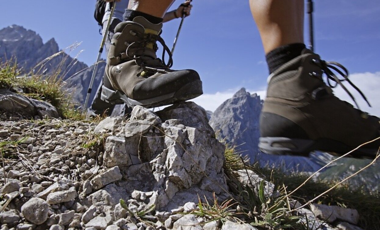
Villabassa/Niederdorf - Monte Serla / Sarlkofel

Niederdorf, Toblach
Add to favourites
Category
Difficulty
Difficult
Activity time
4:03
Duration in hours
Distance
7.4
Distance in km
Suggested period
Jan
Feb
Mar
Apr
May
Jun
Jul
Aug
Sep
Oct
Nov
Dec
From Niederdorf path 15 to the Putzalm, then left on path 16, at 16B right to the Sarlsattel (2338 m), continue to the summit (2378 m). Walking time approx. 3.5 hours.
Start in Villabassa  in direction of Bad Maistatt. Bevor the bridge turn right and follow the marking No. 15. At the hut Putzalm, turn left on path no.16 to the junction no.16B, Sarlsattel (2338m) and finally over the south slope (sure-footedness required) to the summit, 2378m. Walking time from Niederdorf approx. 3.5 hours. The hut Putzalm is open in the summer.
Route info
Difficult
Distance
7,4 km
Activity time
4 h 03 min
Ascent
1.254 m
Descent
21 m
Physical effort
Scenary
Highest point
2.377 m
Lowest point
1.144 m
You might be interested in
Discover related tours
east Gsell hike | © Tourismusverein Sexten_H.Wisthaler, Sesto
Intermediate
Add to favourites
Innichen, Sexten
Alpine tour: Eastern "Gsell"
Distance 11,4 km
Activity time 3 h 45 min
Ascent 790 m
Descent 790 m
Sexten
Alpine tour: Oberpachernspitze/Crode Fiscaline
Distance 18,0 km
Activity time 6 h 45 min
Ascent 1.237 m
Descent 1.237 m
Status
Closed
Circuit Hike Torre dei Scarperi/ Schwabenalpenkopf | © Tourismusverein Sexten_ H. Wisthaler, Sesto
Intermediate
Add to favourites
Innichen, Sexten
Alpine tour: Circuit Hike Torre dei Scarperi/ Schwabenalpenkopf
Distance 29,5 km
Activity time 5 h 30 min
Ascent 1.095 m
Descent 1.095 m
Alta Via Carnica | © Tourismusverein Sexten, Sesto
Intermediate
Add to favourites
Sexten
Alpine tour: Carnic Alpine Ridgeway (Karnischer Höhenweg)
Distance 28,5 km
Activity time 8 h 30 min
Ascent 1.218 m
Descent 1.952 m
Hochebenkofel | © Tourismusverein Innichen, San Candido
Intermediate
Add to favourites
Toblach, Innichen
Alpine Tour: Hochebenkofel/Cima Piatta Alta Peak
Distance 8,0 km
Activity time 10 h 00 min
Ascent 1.392 m
Descent 0 m
Status
Closed
Helm/Monte Elmo | © H.Wisthaler TVB, Sesto
Intermediate
Add to favourites
Sexten
Mountain Hike: Helm/ Monte Elmo
Distance 5,1 km
Activity time 2 h 41 min
Ascent 1.068 m
Descent 1.068 m