to the cable cars

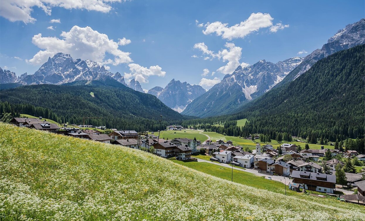
Walk: Moos - Sexten circular trail - Hennstoll hut

Sexten
Add to favourites
Category
Difficulty
Easy
Activity time
0:40
Duration in hours
Distance
2
Distance in km
Suggested period
Jan
Feb
Mar
Apr
May
Jun
Jul
Aug
Sep
Oct
Nov
Dec

You start from Moos and hike along the trail around Sexten to the hut Hennstoll (Signaue).

Route info
Easy
Distance
2,0 km
Activity time
40 min
Ascent
136 m
Descent
23 m
Physical effort
Scenary
Highest point
1.465 m
Lowest point
1.339 m
Directions

From Moos via the Helmweg/via Monte Elmo (path no. 138) to the ski lift "Brugger", then take the path "Sextner Rundweg" (path no. 1) and walk to the hut "Hennstoll".

public transportation
Take bus route 446 to Moos church
How to get there
By car or bus to Moos
Where to park
At designated parking spaces in Moso
You might be interested in
Discover related tours
Toblach, Pragser Tal, Niederdorf
Summer hiking tour - Braies Vecchia/Altprags - Moutain "Monte Serla/Sarlkofel"
Distance 4,9 km
Activity time 3 h 08 min
Ascent 1.010 m
Descent 59 m
Gsell | © Harald Wisthaler, Sesto
Intermediate
Add to favourites
Innichen, Sexten
Hike: Western round Gsellwiesen meadows
Distance 10,7 km
Activity time 4 h 10 min
Ascent 735 m
Descent 735 m
Pragser Tal
Family hiking tour - Parking space Plätzwiese High Plateau - Almhütte Plätzwiese hut
Distance 1,5 km
Activity time 40 min
Ascent 85 m
Descent 10 m
Innichen
Family hike: Rifugio Jora/Jorahütte Mountain Hut
Distance 1,2 km
Activity time 30 min
Ascent 139 m
Descent 0 m
Status
Closed
Lake Prags/Braies - Herrenstein | © Kotter Steger, Braies
Intermediate
Add to favourites
Pragser Tal
Summer hiking - Lago di Braies/Pragser Wildsee - Mountain "Sasso del Signore/Herrenstein"
Distance 4,0 km
Activity time 2 h 21 min
Ascent 739 m
Descent 80 m
Sexten, Innichen
Hike: Cappella del bosco - Baita del cacciatore
Distance 17,1 km
Activity time 5 h 30 min
Ascent 637 m
Descent 636 m