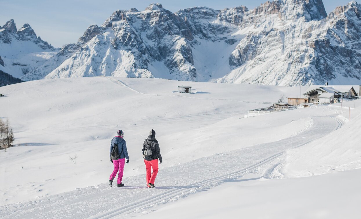
A varied hike from the Stiergarten via the Klammbachalm to the Kreuzberg Pass, featuring well-maintained trails and stunning views.
- Ascent with the “Three Peaks” cable car to the Stiergarten at 2,092 m
- Breathtaking panoramic views of the Sesto Dolomites
- Diverse trail: open alpine meadows, forest sections, and the wide pass landscape
- Linear route
Important notice: Proper footwear and suitable winter clothing are required for all winter hikes. Due to possible icy sections – even on groomed trails – the use of microspikes/crampons and trekking poles is recommended.
The starting point is the parking area at Signaue. From here, you first walk past the Hennstoll hut and then gently downhill along the ski slope to the valley station of the “Three Peaks” cable car. The cable car takes you comfortably up to the mountain station at Stiergarten (2,092 m). After getting off, walk straight ahead for a few meters, carefully cross the slope, and head uphill toward the signposts. This is where the marked hiking trail no. 133 begins, leading to the Klammbachalm.
Leaving the ski slope behind, the trail continues gently downhill on a wide, prepared path. After about 1.2 km, you reach the Klammbachalm. From there, continue on trail no. 133, which passes below the hut and leads into the forest. This is a wide forest road that descends gently in several curves. After about 1.4 km, you arrive at the trail junction "Saumahd" (1,828 m). Follow trail no. 13 for about 50 m, pass a wayside cross, and soon reach the next fork. Here, turn right onto trail no. 131 toward Kreuzberg Pass. After about 100 m, the trail branches off again to the left, still trail no. 131, continuing toward the pass. This is followed by a section of about 1.7 km, mostly flat, running along the edge of the forest. Eventually, you join hiking trail no. 131 coming from the Nemesalm.
Follow it downhill toward the Kreuzberg Pass (1,636 m). After about 30 minutes, you reach a large parking area directly on the main pass road. From here, you can return to the starting point at Signaue by public transport.
Coming from the Puster Valley, turn off at San Candido into the Sexten Valley.
If coming from the Kreuzberg Pass, follow the main road to the Signaue parking lot.
Start at the Signaue parking lot (valley station of the cable car).


