to the cable cars

Winter hiking - Plätzwiese high plateau - Dürrensteinhütte hut

Pragser Tal
Add to favourites
Category
Difficulty
Easy
Activity time
0:32
Duration in hours
Distance
2
Distance in km
Status
Closed
Suggested period
Jan
Feb
Mar
Apr
May
Jun
Jul
Aug
Sep
Oct
Nov
Dec

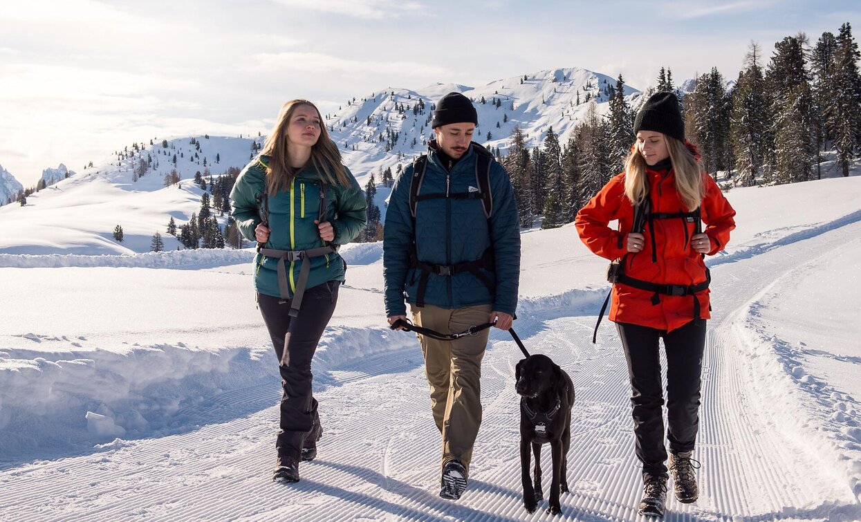
An easy hike for the whole family! Along the old military road from the first World War, in the middle of the UNESCO World Heritage site with views of imposing Dolomites peaks, such as Hohe Gaisel peak, Tofane and Monte Cristallo, you walk towards the Dürrensteinhütte hut.
The Dürrensteinhütte hut is open during the entire winter season.
Starting point: Plätzwiese high plateau car park (2,000 m)
Arrival point: Dürrensteinhütte hut (2,050 m)

Please note: Due to the temperature fluctuations, there may be icy patches on the trails and we therefore recommend the use of crampons!


Route info
Easy
Distance
2,0 km
Activity time
32 min
Ascent
40 m
Descent
0 m
Technical skills
Physical effort
Scenary
Highest point
2.030 m
Lowest point
1.990 m
Directions

From the starting point at the Plätzwiese high plateau parking area, the hike takes you along the wide, pleasant trail past the Berggasthaus Plätzwiese hut and the Hotel hohe Geisl. The almost flat hiking trail climbs slightly just before the finish, past the ruins of the fortress, to the Dürrensteinhütte hut.

public transportation

In the winter months you can use the shuttle bus from Brückele/Ponticello every 30 minutes.

How to get there

Valley entrance Prags/Braies - road junction to Plätzwiese high plateau- continue until Brückele/Ponticello. From Brückele/Ponticello until Plätzwiese high plateau there is a traffic regulation (drive up is possible until 10 am and after 3 pm) - attetion: snow tire or snow chains are obligated. Shuttle service available.

Where to park

At Brückele/Ponticello you can find a parking space

At the Plätzwiese high plateau you can find a parking space for 100 cars.

You might be interested in
Discover related tours
winter Versciaco Vierschach | © Tourismusverein Innichen, San Candido
Intermediate
Add to favourites
Innichen
Winter hike: San Candido/Innichen - Versciaco/Vierschach - Prato Drava/Winnebach
Distance 6,6 km
Activity time 2 h 00 min
Ascent 11 m
Descent 60 m
Winter trail | © Manuel Kottersteger / TV Niederdorf, Villabassa
Intermediate
Add to favourites
Niederdorf
Winter trip: Niederdorf/Villabassa - Eggerberg/Montecosta - Welsberg/Monguelfo
Distance 8,1 km
Activity time 2 h 30 min
Ascent 358 m
Descent 351 m
Status
Closed
Sexten
Winter hike: Sexten mountain pasture walk
Distance 10,9 km
Activity time 3 h 40 min
Ascent 540 m
Descent 349 m
Status
Closed
Gallo Cedrone hut | © TV Sexten, Sesto
Intermediate
Add to favourites
Sexten
Winter hike: Helmrestaurant - Hahnspielhütte
Distance 1,1 km
Activity time 30 min
Ascent 100 m
Descent 100 m
Status
Closed
Sexten
Winter Hike: Moos - Klammbachalm
Distance 11,0 km
Activity time 3 h 55 min
Ascent 619 m
Descent 619 m
Status
Closed
Niederdorf
Winter trail: Niederdorf/Villabassa - Mooskircherunde/Passeggiata "Mooskirche" circuit - Niederdorf/Villabassa
Distance 2,5 km
Activity time 38 min
Ascent 21 m
Descent 21 m
Status
Closed