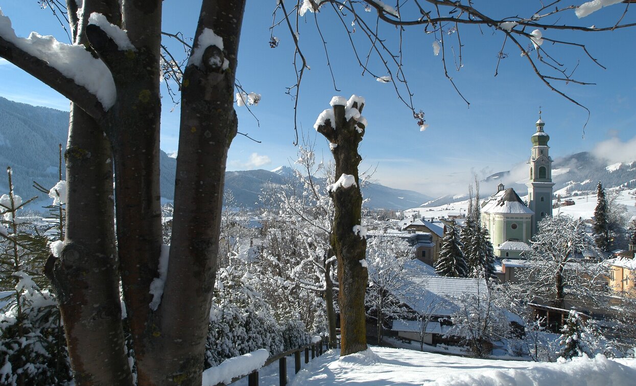
The winter hike passes the source of the Drava/Drau River. The Drava/Drau is a river of 749 km which takes origin in the field of Dobbiaco/Toblach and crosses Italy, Austria, Slovenia, Croatia and Hungary.
Further information to the water treasures of Dobbiaco: www.three-peaks.info/en/dobbiaco/dobbiaco/experiencing-dobbiaco/lago-di-dobbiaco-and-dobbiaco-water-treasures.html?_ga=1.204887893.455846822.1385385320
The winter hike starts in the center of the village and leads over the sidewalks of the St. Johannes Str./Via San Giovanni street, then Dolomitenstr./Via Dolomiti street (after the level crossing go straight ahead) to the Alemagna street.. After the petrol station the winter path leads on the left into the forest to the WoodWonderWorld. The hiking trail continues straight on to the source of the Drau/Drava river, which is represented by a fountain. Always on the marking no. 28A in an easterly direction, the path continues to Innichen/San Candido. Shortly before Innichen the main road is crossed and the circular hike goes uphill, past the Klammschlössl/Valcastello, and over the sunny Haselsberg/Costa Nosellari back to Toblach/Dobbiaco.
Accessible by public transport. The timetables are available on www.sii.bz.it.
How to reach Toblach/Dobbiaco: https://www.drei-zinnen.info/en/dobbiaco/dobbiaco/contact-and-service/arrival-mobility.html
Parking places are available.


