to the cable cars

Winter walk in the Silvestertal/San Silvestro valley

Toblach
Add to favourites
Category
Difficulty
Easy
Activity time
2:00
Duration in hours
Distance
4.5
Distance in km
Status
Closed
Suggested period
Jan
Feb
Mar
Apr
May
Jun
Jul
Aug
Sep
Oct
Nov
Dec

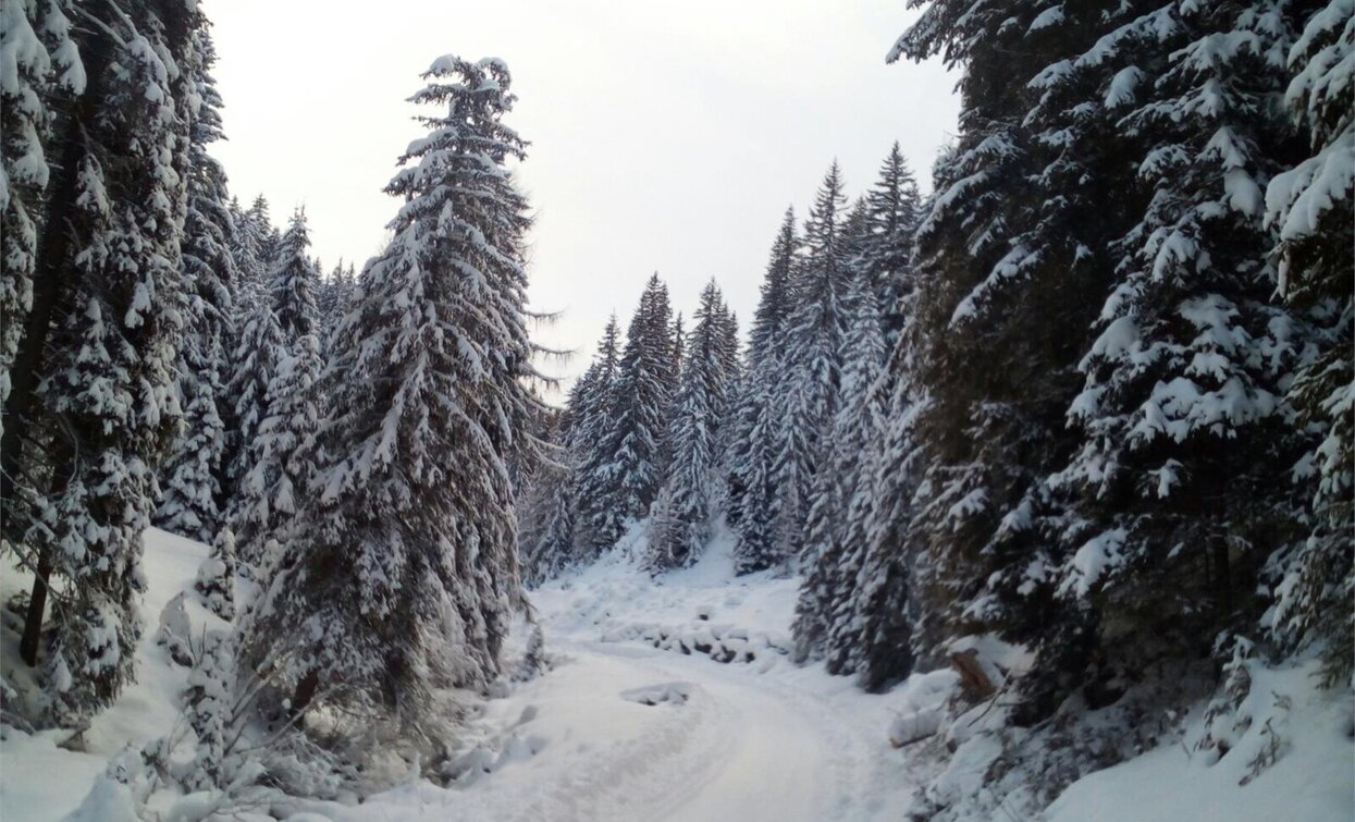
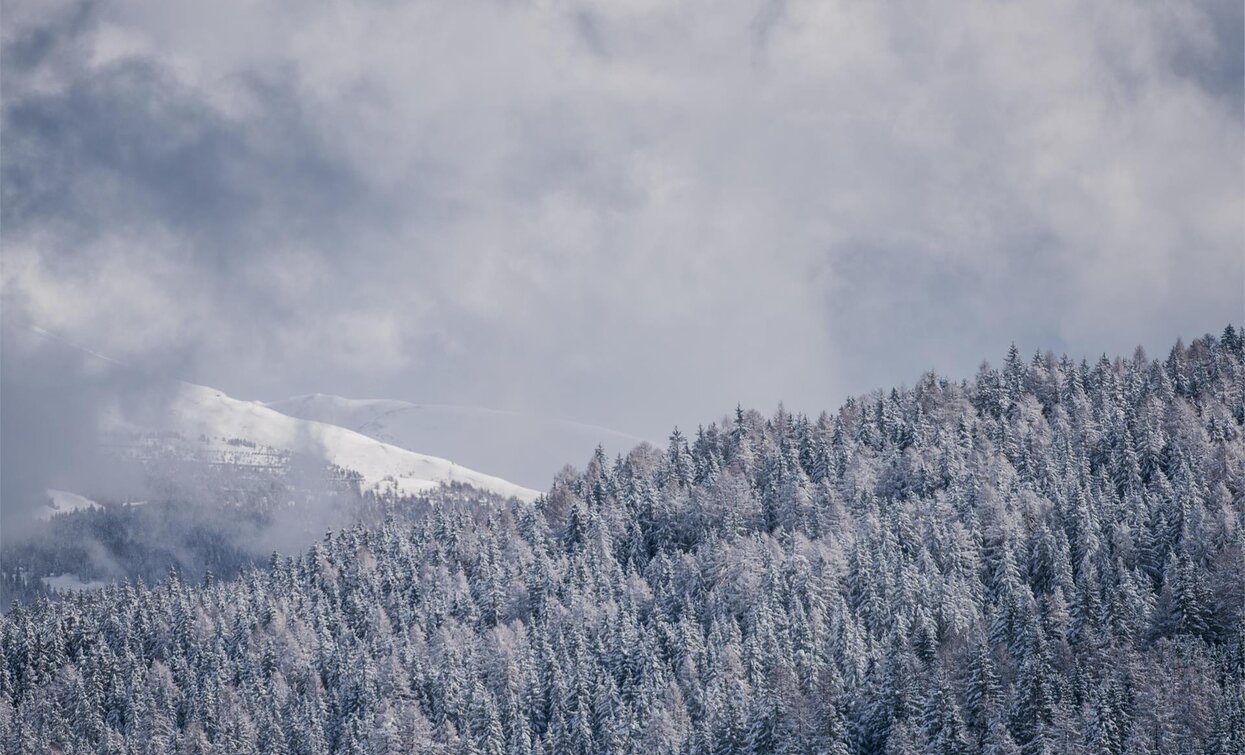
The hike through the quiet Silvestertal/ Valle San Silvestro valley leads mostly through the forest. If you look closely you maybe can even see wild tracks in the snow.

Route info
Easy
Distance
4,5 km
Activity time
2 h 00 min
Ascent
319 m
Descent
5 m
Technical skills
Physical effort
Scenary
Highest point
1.807 m
Lowest point
1.492 m
Directions

From the "Schnegger Säge" the trail no. 1 leads through the snowy Silvestertal/Valle San Silvestro valley in the middle of the forest straight ahead and sligthly uphill, only two times more steep, to the Silvesteralm/Malga San Silvestro hut (closed in winter).

public transportation

Accessible by public transport. The timetables are available on www.sii.bz.it.

How to get there

How to reach Toblach/Dobbiaco: https://www.drei-zinnen.info/en/dobbiaco/dobbiaco/contact-and-service/arrival-mobility.html

From Toblach in northern direction, passing the district Wahlen/San Silvestro, until the end of the road.

Where to park

Parking places are available.

You might be interested in
Discover related tours
Winter Hike: Moos - Kreuzbergpass | © Harald Wisthaler, Sesto
Intermediate
Add to favourites
Sexten
Winter Hike: Moos - Kreuzbergpass
Distance 12,8 km
Activity time 4 h 05 min
Ascent 649 m
Descent 339 m
Status
Closed
Winter trail | © Manuel Kottersteger / TV Niederdorf, Villabassa
Intermediate
Add to favourites
Niederdorf
Winter trip: Niederdorf/Villabassa - Eggerberg/Montecosta - Welsberg/Monguelfo
Distance 8,1 km
Activity time 2 h 30 min
Ascent 358 m
Descent 351 m
Status
Closed
Plätzwiese | © Auer Lukas, Braies
Intermediate
Add to favourites
Pragser Tal
Winter hiking - Brückele/Ponticello - Plätzwiese high plateau
Distance 6,3 km
Activity time 2 h 18 min
Ascent 561 m
Descent 65 m
Status
Closed
Toblach, Innichen
Winter-walk arount the source of the Drau/Drava river
Distance 9,8 km
Activity time 2 h 42 min
Ascent 208 m
Descent 208 m
Status
Closed
Bonner Hut | © @TVToblach, Dobbiaco
Intermediate
Add to favourites
Toblach
Winter-hiking tour: Gandelle/Kandellen - Bonner hut
Distance 3,9 km
Activity time 2 h 30 min
Ascent 715 m
Descent 3 m
Status
Closed
Niederdorf, Toblach
Winter trail: Niederdorf/Villabassa - Aufkirchen/Santa Maria - Toblach/Dobbiaco - Niederdorf/Villabassa
Distance 10,7 km
Activity time 4 h 30 min
Ascent 600 m
Descent 800 m
Status
Closed