Category
Difficulty
Easy
Activity time
1:00
Duration in hours
Distance
4
Distance in km
Suggested period
Jan
Feb
Mar
Apr
May
Jun
Jul
Aug
Sep
Oct
Nov
Dec
The circular route offers a great insight into the world around the lake.
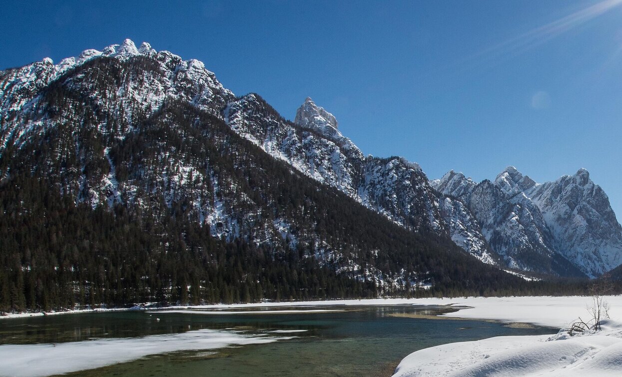
This hike leads around the beautifully situated Toblacher See. A nature adventure trail with 11 stations around the lake provides valuable information about the flora, fauna and geomorphology of the area and, above all, explains the special features of Lake Dobbiaco. The viewing platform on the west bank offers a place to rest and a view of the flora and fauna and the silting zone. In addition, the special and very varied panorama of the circular route should be mentioned.
Tags
- Linear route
Route info
Easy
Distance
4,0 km
Activity time
1 h
00 min
Ascent
61 m
Descent
42 m
Technical skills
Physical effort
Scenary
Highest point
1.258 m
Lowest point
1.199 m
Directions
The winter hike leads from the church of Toblach/Dobbiaco over the Tiefenweg/Via Tiefen street to the district Rienz/Rienza. From there, the street on the right side, continues to Segheria/Säge and the path no. 29 takes in the middle of the forest straight on to the Toblach/Dobbiaco lake.
public transportation
Accessible by public transport. The timetables are available on www.sii.bz.it.
How to get there
How to reach Toblach/Dobbiaco: https://www.drei-zinnen.info/en/dobbiaco/dobbiaco/contact-and-service/arrival-mobility.html
Where to park
Parking places are available.
You might be interested in
Discover related tours


