to the cable cars

From the Croda Rossa valley to the Fiscalina valley

Innichen, Sexten
Add to favourites
Difficulty
Intermediate
Activity time
2:00
Duration in hours
Distance
4.1
Distance in km
Status
open
Categories
  • Hiking and mountain tours
Suggested period
Jan
Feb
Mar
Apr
May
Jun
Jul
Aug
Sep
Oct
Nov
Dec
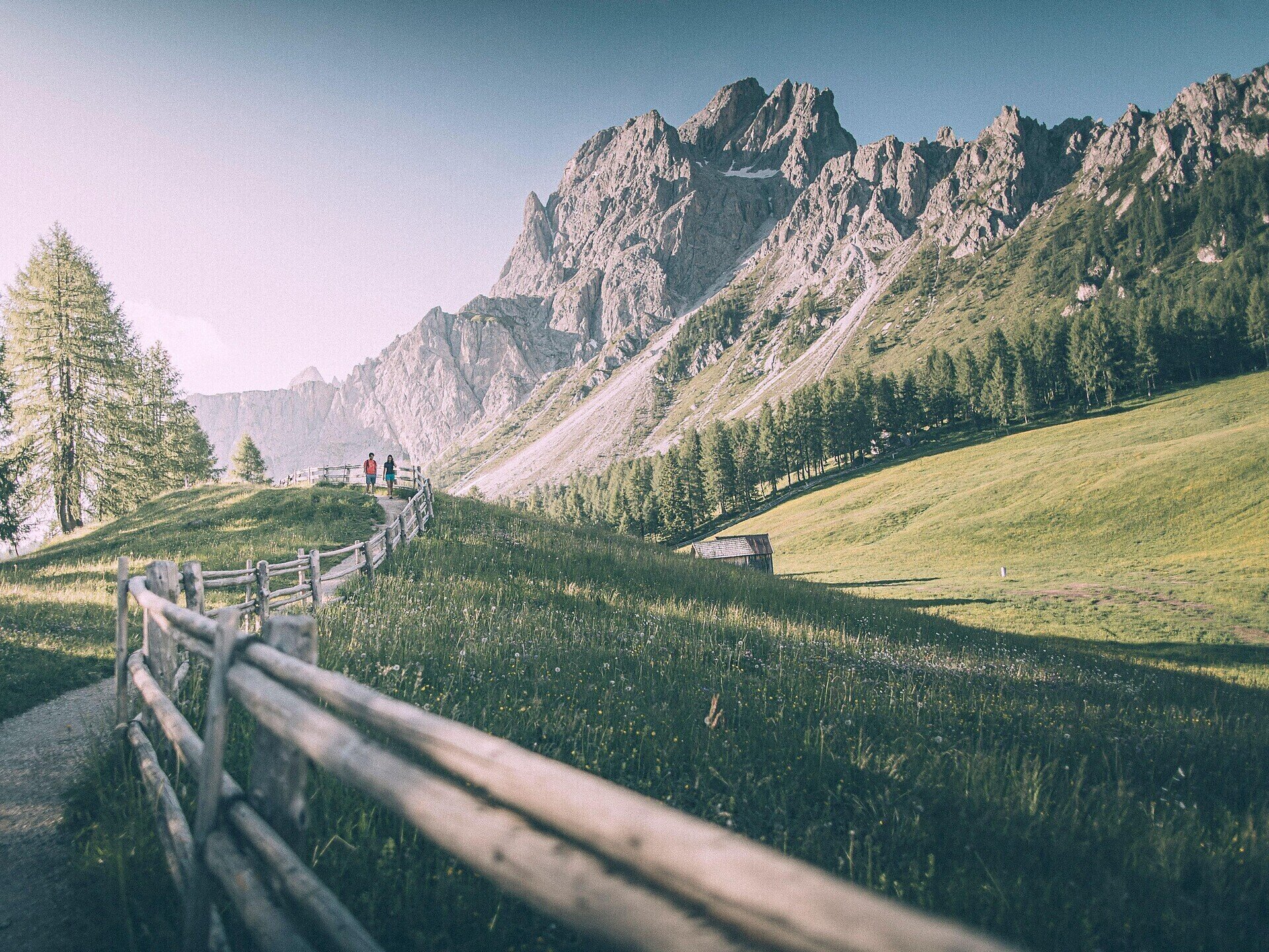
Variety-packed descent from the prati di Croda Rossa meadows to the Fiscalina valley.
Take the cable car from Sesto-Bad Moos to the prati di Croda Rossa meadows (1,950 m). Follow trail no. 15 through the wood and turn left onto trail no. 153. Follow the narrow path towards the valley until you come to Piano Fiscalina (1,454 m), and then through the larch meadows to return to your starting point.
Gallery
Categories
  • Hiking and mountain tours
Route info
Intermediate
Distance
4,1 km
Activity time
2 h 00 min
Ascent
1 m
Descent
569 m
Technical skills
Physical effort
Highest point
1.923 m
You might be interested in
Discover related tours
Pragser Tal
Summer hiking - Lago di Braies/Pragser Wildsee - Mountain "Sasso del Signore/Herrenstein"
Distance 4,0 km
Activity time 2 h 21 min
Ascent 739 m
Descent 80 m
Status
open
© Kottersteger
Intermediate
Add to favourites
Innichen
Winter hike: San Candido/Innichen - Versciaco/Vierschach - Prato Drava/Winnebach
Distance 6,6 km
Activity time 2 h 00 min
Ascent 10 m
Descent 58 m
Status
Closed
© Schwingshackl Christian
Intermediate
Add to favourites
Pragser Tal
Summer walking tour - Lago di Braies/ Pragser Wildsee - Malga Kaseralm hut
Distance 3,8 km
Activity time 1 h 30 min
Ascent 555 m
Descent 113 m
Status
open
© Kotter Steger
Intermediate
Add to favourites
Pragser Tal
Summer hiking tour - Corte - Larici - Villabassa/Säge - Lercha - Niederdorf
Distance 4,0 km
Activity time 1 h 03 min
Ascent 48 m
Descent 109 m
Status
open
© Harald Wisthaler
Intermediate
Add to favourites
Sexten
Winter hike with (buggy): Sexten church – Gasthof Panorama
Distance 3,0 km
Activity time 1 h 03 min
Ascent 250 m
Descent 5 m
Status
Closed
Pragser Tal
Dolomite Alpine Ridgeway No.1
Distance 105,9 km
Activity time 41 h 00 min
Ascent 6.820 m
Descent 7.815 m
Status
open