to the cable cars

Hike: Pausa Ganda/Gantraste Peak

Innichen
Add to favourites
Difficulty
Intermediate
Activity time
4:05
Duration in hours
Distance
11.4
Distance in km
Status
open
Categories
  • Hiking and mountain tours
Suggested period
Jan
Feb
Mar
Apr
May
Jun
Jul
Aug
Sep
Oct
Nov
Dec

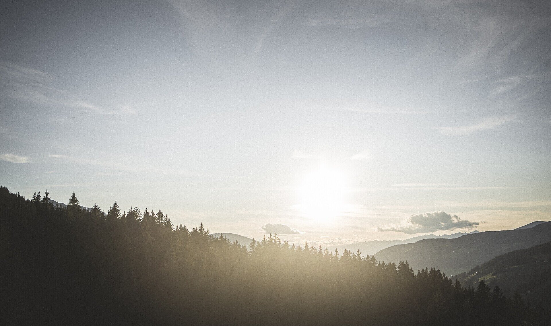
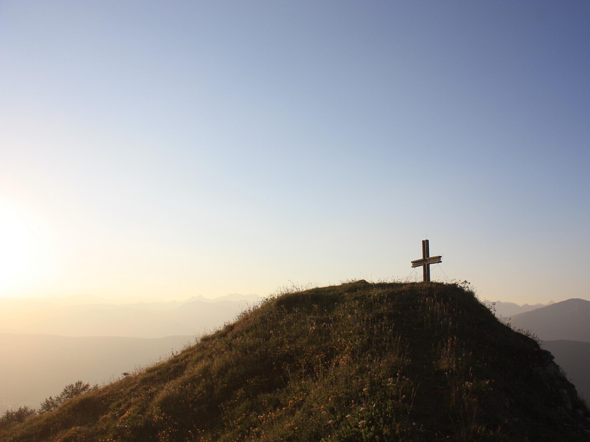
From Baranci/Haunold valley station follow the route 28 and then route 6 to the "Riese-Haunold-Hütte" mountain refuge. Then take the steep path next to the ski lift "Untertal" which brings you first to "Maierkaser" (unmanaged hut) and then to "Pausa Ganda/Gantraste". You will have a beautiful view over San Candido!

Forestry work may take place throughout the summer on the hiking trails to Haunoldköpfl and Gantraste. For safety reasons, please check again with the local tourist office before starting your hike.
Gallery
Categories
  • Hiking and mountain tours
Route info
Intermediate
Distance
11,4 km
Activity time
4 h 05 min
Ascent
991 m
Descent
991 m
Technical skills
Physical effort
Scenary
Highest point
2.126 m
Lowest point
1.176 m
You might be interested in
Discover related tours
Innichen
Hike: Val campo di Dentro- Forcella del lago (2.545 m) - Valle di Landro Innerfeld - Lückeleschartl 2.545 m - Höhlensteintal
Distance 16,0 km
Activity time 6 h 00 min
Ascent 1.273 m
Descent 1.226 m
Status
open
Innichen
Family hike: Rifugio Gigante Baranci/Riese Haunold Hütte Mountain Hut
Distance 2,8 km
Activity time 50 min
Ascent 306 m
Status
open
© TV Sexten _ Harald Wisthaler
Intermediate
Add to favourites
Sexten
Themed path: Meditation Trail and Fairy tale Trail
Distance 5,2 km
Activity time 2 h 00 min
Ascent 310 m
Descent 310 m
Status
open
Toblach
Summer hiking tour: War Cemetery - Flodige
Distance 5,2 km
Activity time 3 h 30 min
Ascent 1.079 m
Descent 60 m
Status
open
Sexten
Hike: Crossing Innerfeldtal valley - Fischleintal valley
Distance 27,6 km
Activity time 9 h 05 min
Ascent 1.197 m
Descent 1.013 m
Status
open
© @TVToblach
Intermediate
Add to favourites
Toblach
Summer-walk around the Bonner hut
Distance 13,9 km
Activity time 4 h 30 min
Ascent 1.084 m
Descent 1.084 m
Status
open

