to the cable cars

Relaxing forest walk down to the valley

Innichen, Sexten
Add to favourites
Difficulty
Easy
Activity time
2:20
Duration in hours
Distance
5.8
Distance in km
Status
open
Categories
  • Hiking and mountain tours
  • Stroller-friendly
Suggested period
Jan
Feb
Mar
Apr
May
Jun
Jul
Aug
Sep
Oct
Nov
Dec
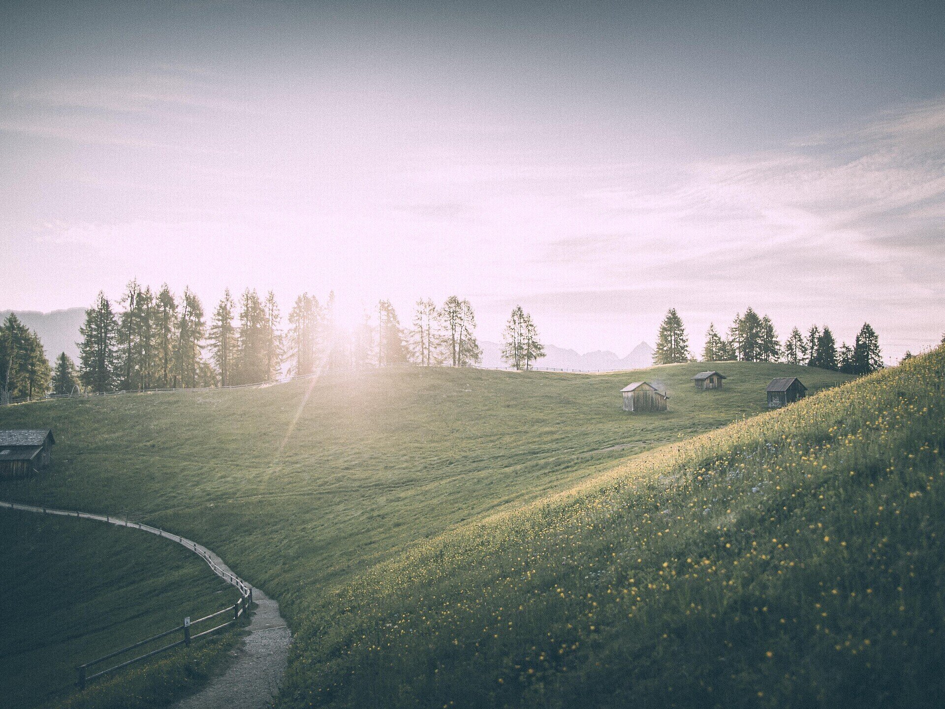
From the prati di Croda Rossa meadows to the rifugio Pollaio and back to Moso di Sesto
Take the cable car from "Bad Moos" in Sesto to the prati di Croda Rossa meadows (1,925 m) and then follow trail no. 17A down through the wood. Continue along trail no. 15 and, at the fourth bend, turn off to the right and continue onwards until you come to trail no. 152, which leads to the valley and the Rio Sesto. Take trail no. 1 to the Rifugio Pollaio. From there a pleasant walk will take you back to your starting point at the valley station in Bad Moos.
Gallery
Categories
  • Hiking and mountain tours
  • Stroller-friendly
Route info
Easy
Distance
5,8 km
Activity time
2 h 20 min
Ascent
22 m
Descent
584 m
Technical skills
Physical effort
Highest point
1.923 m
You might be interested in
Discover related tours
Sexten
Hike: Oberpachernspitze/Crode Fiscaline
Distance 19,3 km
Activity time 7 h 35 min
Ascent 1.265 m
Descent 1.268 m
Status
open
© Oberhofer Hermann, Prags
Intermediate
Add to favourites
Niederdorf
Theme trail "Balance" - Heightened energy areas and Forest Therapy
Distance 12,4 km
Activity time 3 h 27 min
Ascent 285 m
Descent 285 m
Status
open
© @TVToblach
Intermediate
Add to favourites
Toblach
Summer-walk around the Bonner hut
Distance 13,9 km
Activity time 4 h 30 min
Ascent 1.084 m
Descent 1.084 m
Status
open
© Kotter Steger
Intermediate
Add to favourites
Pragser Tal
Summer hiking - Braies Vecchia/Altprags - Mountain "Monte Lungo/Lungkofel"
Distance 11,7 km
Activity time 5 h 35 min
Ascent 1.173 m
Descent 1.173 m
Status
open
Pragser Tal
Summer hiking - Monte di Braies/Pragser Berg
Distance 3,4 km
Activity time 1 h 05 min
Ascent 195 m
Descent 73 m
Status
open
Sexten
Family Hike: Moos – Fischleintal valley – Talschlusshütte hut
Distance 10,6 km
Activity time 2 h 40 min
Ascent 207 m
Descent 213 m
Status
open