to the cable cars

Snowshoe hike: Val Campo di Dentro/Innerfeldtal Valley

Innichen
Add to favourites
Difficulty
Easy
Activity time
2:00
Duration in hours
Distance
5.7
Distance in km
Status
Closed
Categories
  • Hiking and mountain tours
  • Family hikes
  • Snowshoeing
  • Winter hiking trails
Tags
  • Out and back
  • Family-friendly
Suggested period
Jan
Feb
Mar
Apr
May
Jun
Jul
Aug
Sep
Oct
Nov
Dec

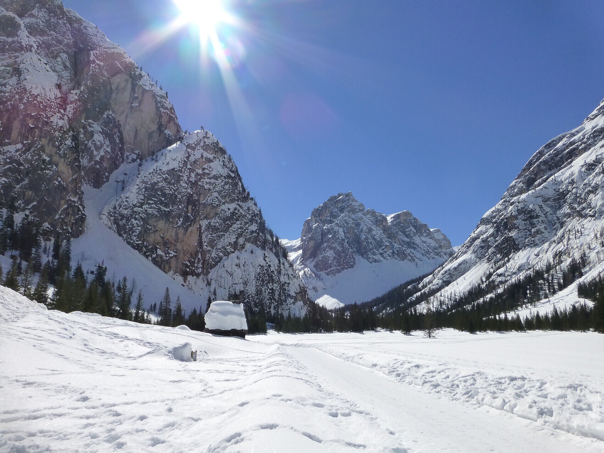
A relaxing snowshoe hike in the middle of the Drei Zinnen Nature Park with views of the magnificent mountains of the Sexten Dolomites.

The Innerfeldtal valley is the main recreational area for San Candido/Innichen and is definitely worth a trip. Especially in winter, it is an area with a peaceful atmosphere that is hard to find anywhere else. Using snowshoes is a great way to explore this valley, because then you can tread through deep, virgin snow.
Gallery
Categories
  • Hiking and mountain tours
  • Family hikes
  • Snowshoeing
  • Winter hiking trails
Tags
  • Out and back
  • Family-friendly
Route info
Easy
Distance
5,7 km
Activity time
2 h 00 min
Ascent
357 m
Technical skills
Physical effort
Scenary
Highest point
1.626 m
Lowest point
1.258 m
You might be interested in
Discover related tours
© Harald Wisthaler
Intermediate
Add to favourites
Sexten
Winter hike: Gasthof Panorama - Lärchenhütte Hut
Distance 2,7 km
Activity time 1 h 03 min
Ascent 285 m
Status
Closed
Pragser Tal
Dolomite Alpine Ridgeway No.1
Distance 105,9 km
Activity time 41 h 00 min
Ascent 6.820 m
Descent 7.815 m
Status
Closed
© @TVToblach
Intermediate
Add to favourites
Toblach
Theme path: Pilgrim path St. Peter am Kofel/San Pietro in Monte
Distance 2,1 km
Activity time 2 h 00 min
Ascent 198 m
Descent 198 m
Status
Closed
Pragser Tal
Family hiking tour - Pragser Berg/Monte di Braies
Distance 3,4 km
Activity time 1 h 05 min
Ascent 195 m
Descent 73 m
Status
open
© Kotter Steger
Intermediate
Add to favourites
Pragser Tal
Summer hiking tour - Lago di Braies/Pragser Wildsee - Alpine hut "Malga Colle Alti/Hochalmhütte"
Distance 6,9 km
Activity time 2 h 33 min
Ascent 659 m
Descent 23 m
Status
Closed
Sexten
Hiking path with buggy: Sexten – Fischleintal valley - Taschlusshütte hut
Distance 13,4 km
Activity time 3 h 35 min
Ascent 269 m
Descent 265 m
Status
open