to the cable cars

The beauty of the Tre Cime and the tinkling of cowbells

Innichen, Sexten
Add to favourites
Difficulty
Easy
Activity time
1:50
Duration in hours
Distance
4.8
Distance in km
Status
open
Categories
  • Hiking and mountain tours
  • Family hikes
Suggested period
Jan
Feb
Mar
Apr
May
Jun
Jul
Aug
Sep
Oct
Nov
Dec
Hike from Klammbach mountain pasture to Signaue
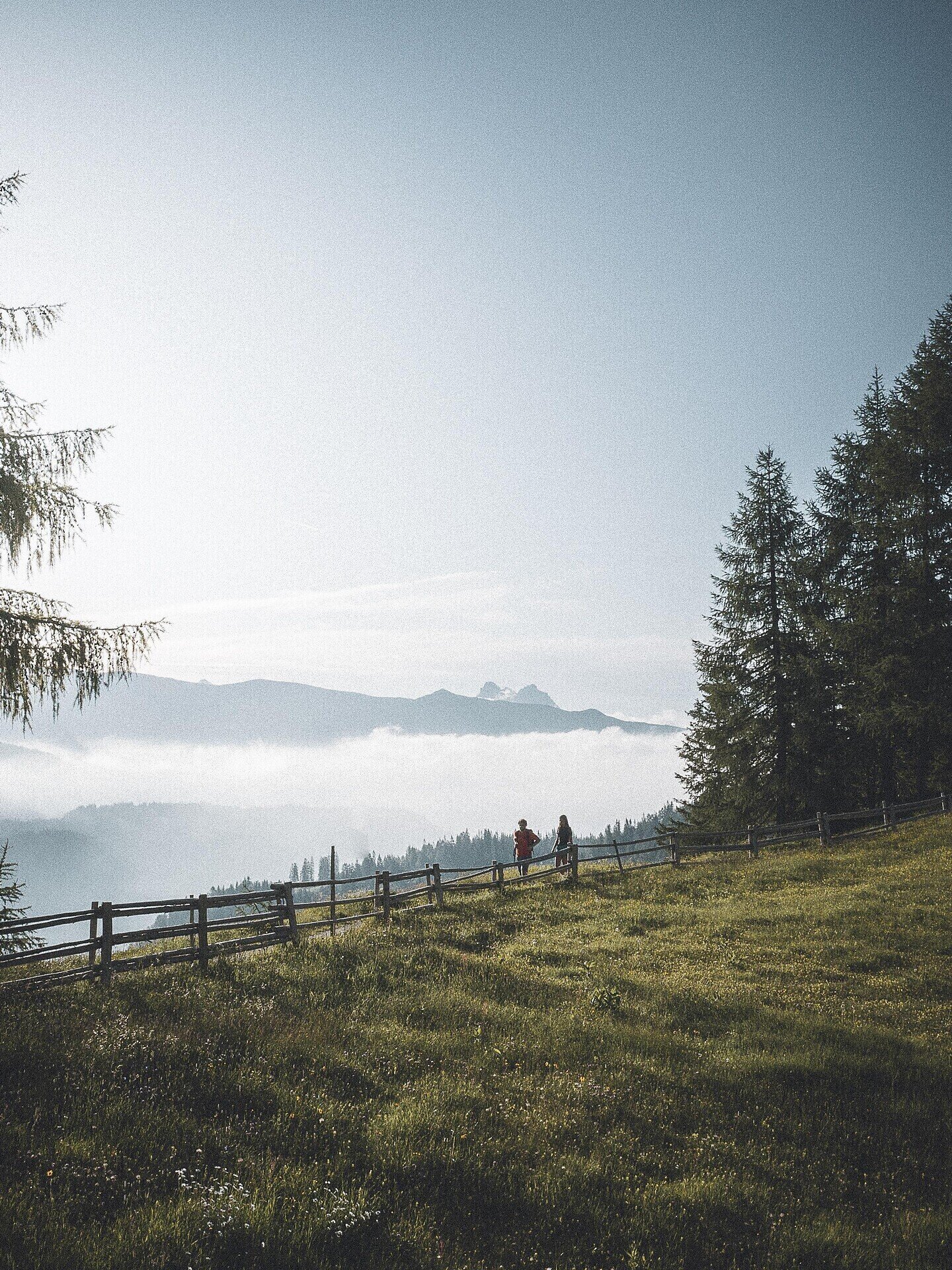
Take the Tre Cime cable car from Signaue car park to the Stiergarten, where you con feast your eyes on incredible views over the Sesto Dolomites and Tre Cime. A wide, buggy-friendly trail (133) leads to the Klammbach mountain pasture. Take forest trails no. 133 and no. 13 until the road forks into trails no.1 and no. 13. Turn left here and continue along trail no. 1 until you come to the Pollaio hut.
Gallery
Categories
  • Hiking and mountain tours
  • Family hikes
Route info
Easy
Distance
4,8 km
Activity time
1 h 50 min
Ascent
11 m
Descent
660 m
Technical skills
Physical effort
Highest point
2.093 m
You might be interested in
Discover related tours
Innichen
Hike: Val campo di Dentro- Forcella del lago (2.545 m) - Valle di Landro Innerfeld - Lückeleschartl 2.545 m - Höhlensteintal
Distance 16,0 km
Activity time 6 h 00 min
Ascent 1.273 m
Descent 1.226 m
Status
open
© Harald Wisthaler
Intermediate
Add to favourites
Sexten
Hike: Innerfeldtal valley - Fischleintal valley
Distance 27,6 km
Activity time 9 h 05 min
Ascent 1.235 m
Descent 1.232 m
Status
open
Innichen, Sexten
Across alpine pastures to the Passo Monte Croce
Distance 7,5 km
Activity time 2 h 30 min
Ascent 71 m
Descent 526 m
Status
open
© @TVToblach
Intermediate
Add to favourites
Toblach
Summer-walk to the Lachwiesen hut
Distance 6,7 km
Activity time 2 h 30 min
Ascent 458 m
Descent 458 m
Status
open
© TV Sexten - Harald Wisthaler
Intermediate
Add to favourites
Sexten
Hiking path: Sexten parish church – Gasthof Panorama
Distance 6,0 km
Activity time 2 h 00 min
Ascent 248 m
Descent 250 m
Status
open
© @wisthaler
Intermediate
Add to favourites
Innichen
The healing springs of Bagni di San Candido
Distance 5,4 km
Activity time 1 h 40 min
Ascent 10 m
Descent 331 m
Status
open