to the cable cars
Top

Winter-hiking tour: Gandelle/Kandellen - Bonner hut

Toblach
Add to favourites
Category
Difficulty
Intermediate
Activity time
2:13
Duration in hours
Distance
3.9
Distance in km
Status
open
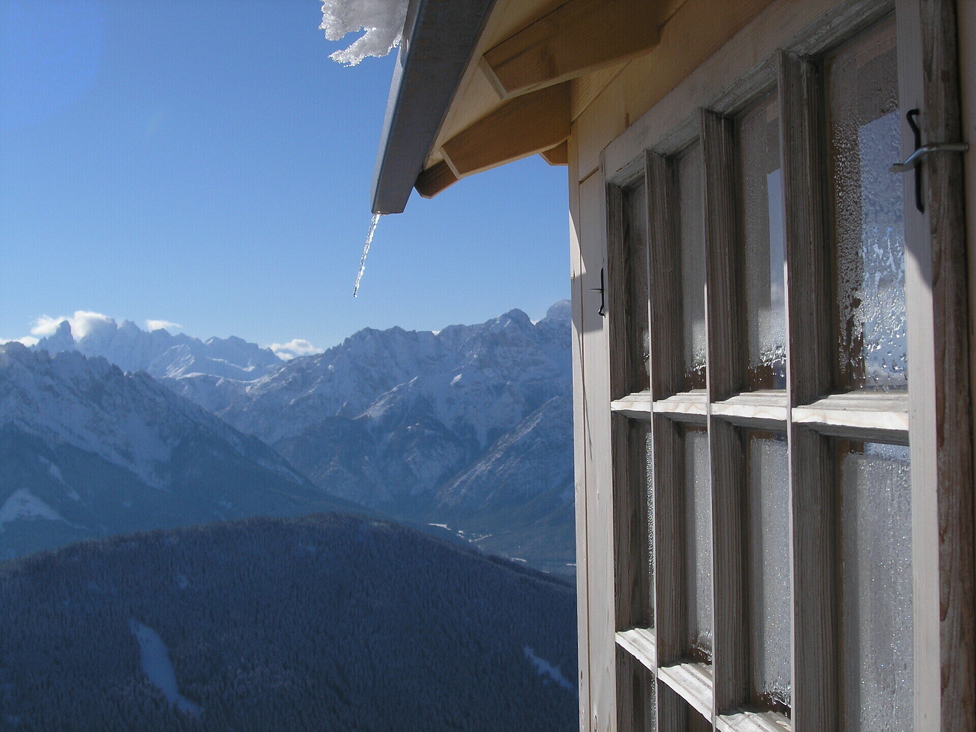
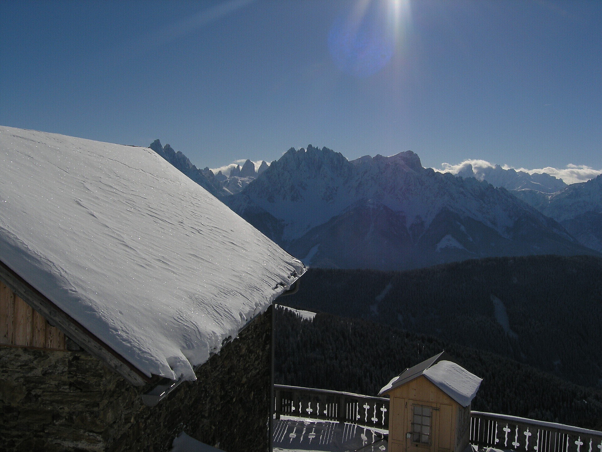
The Bonner-hut is considered by many to be the hut with the best view of the Dolomites, including the Tre Cime.

From the Rifugio Bonner/Bonnerhütte you have an amazing view over the snowy Dolomites.

Attention: with fresh snow only possible with snow shoes.
Tags
  • Linear route
Route info
Intermediate
Distance
3,9 km
Activity time
2 h 13 min
Ascent
712 m
Descent
0 m
Technical skills
Physical effort
Scenary
Highest point
2.310 m
Lowest point
1.598 m
You might be interested in
Discover related tours
Hiking | © Harald Wisthaler, Sesto
Intermediate
Add to favourites
Sexten
Winter Hike: Moos - Klammbachalm
Distance 6,2 km
Activity time 2 h 25 min
Ascent 610 m
Descent 1 m
Status
Closed
3 Zinnen Dolomites | © M. Kottersteger, San Candido
Intermediate
Add to favourites
Sexten
Mountain station Stiergarten - Malga Klammbach - Malga Nemes - Passo Monte Croce - Skibus Signaue
Distance 9,3 km
Activity time 3 h 00 min
Ascent 119 m
Descent 472 m
Status
open
3 Zinnen Dolomites | © M. Kottersteger, San Candido
Intermediate
Add to favourites
Sexten
Mountain station Monte Elmo - Rifugio Larice - Valley station Monte Elmo
Distance 7,2 km
Activity time 2 h 40 min
Ascent 79 m
Descent 730 m
Status
open
Leitnstöckl | © © DreiZinnenMarketing/M.Schönegger, Dobbiaco
Intermediate
Add to favourites
Toblach
Winter-walk: Cultural Round Tour
Distance 11,8 km
Activity time 4 h 30 min
Ascent 500 m
Descent 500 m
Status
Closed
San Silvestro/Wahlen | © © TvToblach, Dobbiaco
Intermediate
Add to favourites
Toblach
Winter walking tour: Panoramic path Frondeigen/Franadega
Distance 4,7 km
Activity time 2 h 30 min
Ascent 347 m
Descent 4 m
Status
Closed
Winter Hike: Sexten - Fischleital Valley  - Talschlusshütte | © Harald Wisthaler, Sesto
Intermediate
Add to favourites
Sexten
Winter Hike: Sexten - Fischleital Valley - Talschlusshütte
Distance 6,4 km
Activity time 1 h 45 min
Ascent 227 m
Descent 227 m
Status
Closed