

to the cable cars
Top

34B St. Veit/San Vito circuit

Pragser Tal
Add to favourites
Category
Difficulty
Easy
Activity time
0:09
Duration in hours
Distance
0.7
Distance in km
Status
Closed
Easy, sunny circuit in St. Veit – ideal for beginners, families, and those taking their first steps in cross-country skiing in the Dolomites.

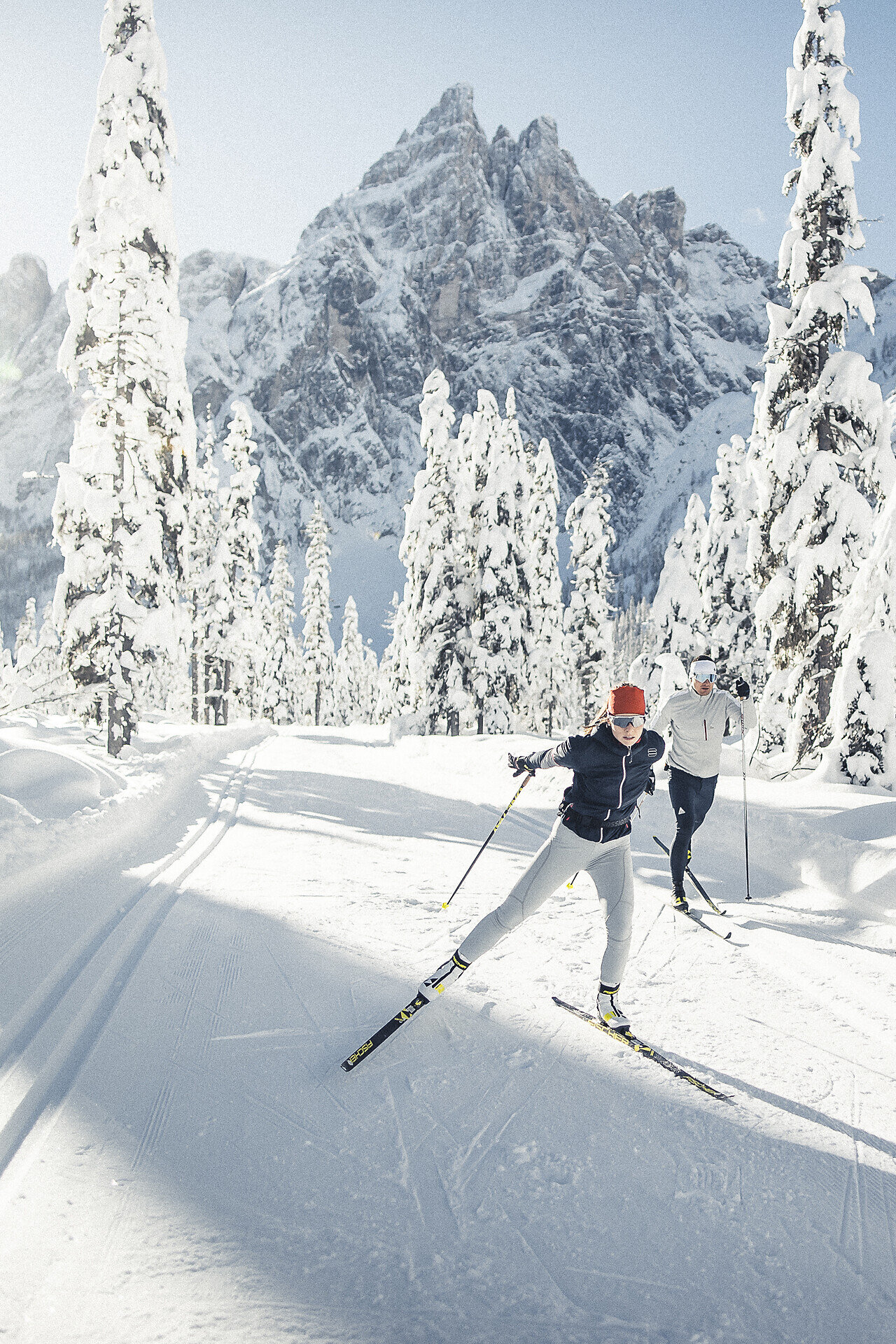
The St. Veit circuit is a new, easy circuit for beginners and recreational cross-country skiers in the holidayregion 3 Zinnen Dolomites. The trail is approximately 700 meters long, sunny, and leads through a winter mountain panorama.

Thanks to its gentle gradient, the trail is perfect for first attempts at cross-country skiing and ideal for beginners, families, or anyone who wants to enjoy a relaxed lap in the Dolomites. The trail is located directly behind the Trenker and Pragserhof hotels, making it easily accessible.
Route info
Easy
Distance
0,7 km
Activity time
09 min
Ascent
14 m
Descent
14 m
Technical skills
Physical effort
Scenary
Highest point
1.369 m
Lowest point
1.354 m
You might be interested in
Discover related tours
Segheria - Braies Vecchia | © Braies
Intermediate
Add to favourites
Pragser Tal
36A Säge/Segheria - Altprags/Braies Vecchia (skilift)
Distance 4,9 km
Activity time 2 h 20 min
Ascent 220 m
Descent 0 m
Status
Closed
Val Fonda | © Dobbiaco
Intermediate
Add to favourites
Toblach
11B Toblach/Dobbiaco: Round Val Fonda
Distance 2,1 km
Activity time 36 min
Ascent 65 m
Descent 53 m
Status
Closed
Cross Country Skiing | © Villabassa
Intermediate
Add to favourites
Niederdorf
26 C Villabassa/Niederdorf - Cross country Hirbenfeld
Distance 1,1 km
Activity time 17 min
Ascent 16 m
Descent 5 m
Status
Closed
Toblach, Innichen
13b Innichen/San Candido Hotel Walter - Toblach / Dobbiaco
Distance 3,0 km
Activity time 41 min
Ascent 22 m
Descent 14 m
Status
Closed
Toblach
12 Track, around the village of Toblach/Dobbiaco
Distance 4,5 km
Activity time 52 min
Ascent 30 m
Descent 50 m
Status
Closed
Toblach, Pragser Tal
14 Ski hiking trai Schluderbach/Carbonin - Plätzwiese/Prato Piazza
Distance 7,0 km
Activity time 2 h 47 min
Ascent 574 m
Descent 0 m
Status
Closed