to the cable cars

Bonner Hut

Toblach
Add to favourites
Category
Difficulty
Difficult
Activity time
2:20
Duration in hours
Distance
4.1
Distance in km
Status
Closed
Suggested period
Jan
Feb
Mar
Apr
May
Jun
Jul
Aug
Sep
Oct
Nov
Dec

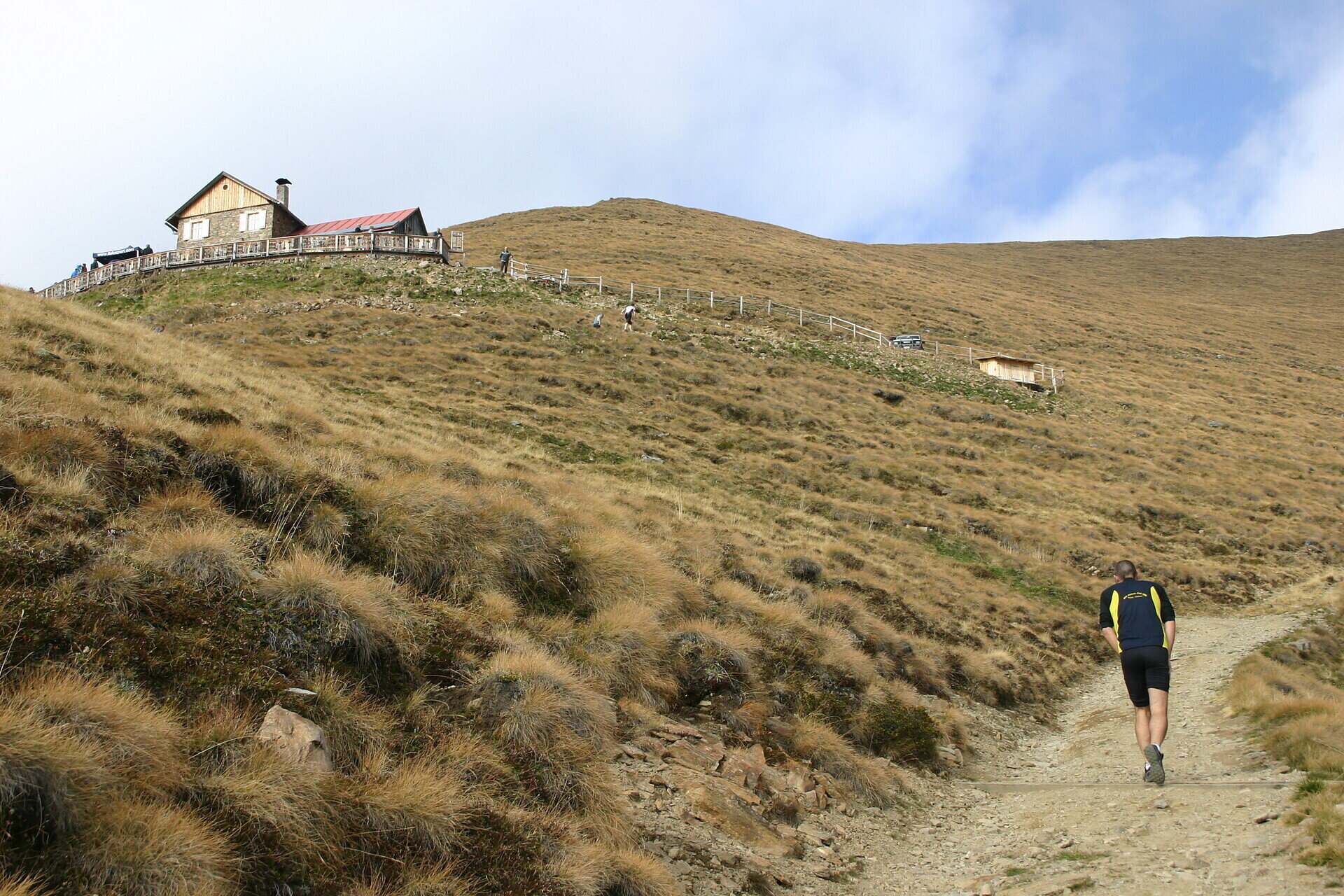
It is a difficult running track of leading over a forest path from Candelle to the edge of the forest till the Bonner Hut. Above the forest border you have a wonderful view of the Alta Pusteria valley basin.
Gallery
Tags
  • Linear route
Route info
Difficult
Distance
4,1 km
Activity time
2 h 20 min
Ascent
724 m
Technical skills
Physical effort
Scenary
Highest point
2.309 m
Lowest point
1.585 m
You might be interested in
Discover related tours
Sexten
Theme path: The Sexten Milk Mile
Distance 1,9 km
Activity time 25 min
Ascent 5 m
Descent 34 m
Status
open
© Salewa
Intermediate
Add to favourites
Sexten
Hiking path: Moos - Kreuzbergpass- Coltrondo Alm
Distance 16,0 km
Activity time 5 h 00 min
Ascent 640 m
Descent 376 m
Status
open
Sexten
Theme hike: mountain station Helmjet cable car – Jägerhütte hut – Gasthof Waldruhe - Sexten
Distance 5,1 km
Activity time 1 h 30 min
Ascent 2 m
Descent 752 m
Status
open
Sexten
Hike: Moos – Fischleintal valley – Talschlusshütte hut
Distance 5,2 km
Activity time 50 min
Ascent 197 m
Descent 10 m
Status
open
Toblach
Round track of the Lake of Toblach
Distance 1,7 km
Activity time 20 min
Ascent 7 m
Descent 7 m
Status
open
Sexten
Walking path: Helmrestaurant - Hahnspielhütte hut
Distance 1,1 km
Activity time 25 min
Ascent 103 m
Status
open

