to the cable cars

Dolomites without borders – Rif. Berti - Obstanserseehütte hut

Sexten
Add to favourites
Difficulty
Intermediate
Distance
17
Distance in km
Status
open
Categories
  • Climbing routes
Tags
  • Linear route
Suggested period
Jan
Feb
Mar
Apr
May
Jun
Jul
Aug
Sep
Oct
Nov
Dec

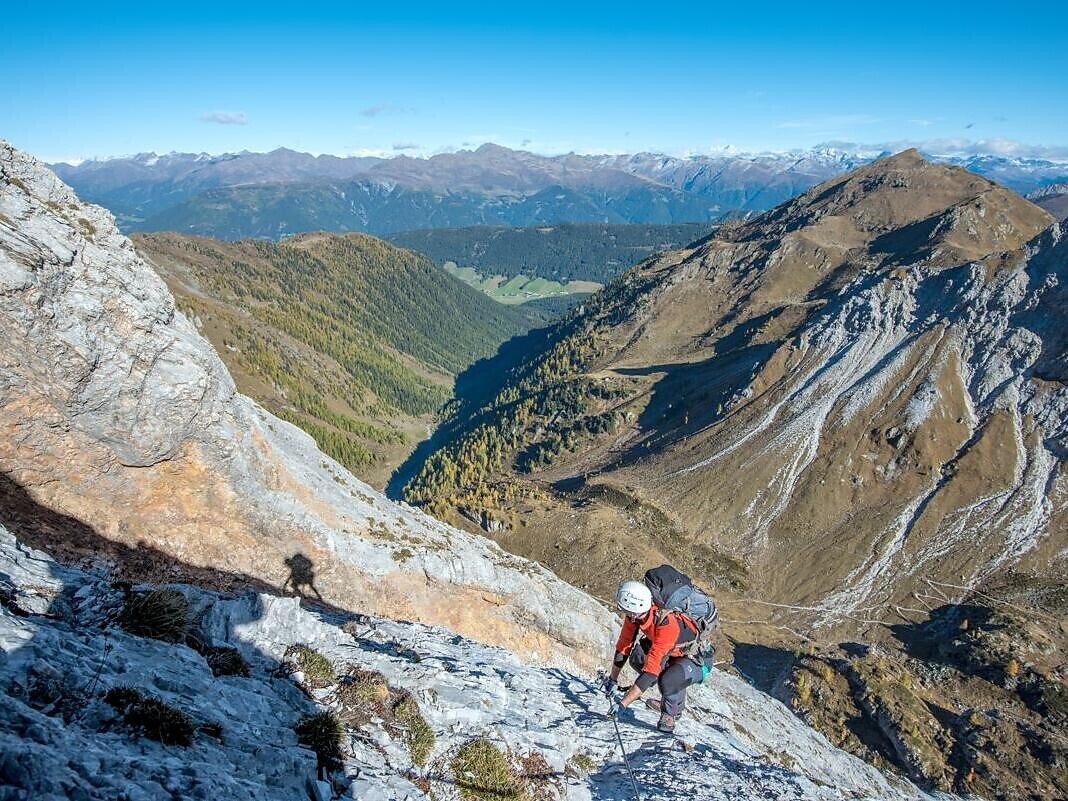
"DOLOMITES WITHOUT BORDERS" - The project was born out of the idea that the Dolomites should no longer be a barrier but a place of meeting and friendship. A high-altitude trekking route including 12 „via ferrata“ - each of them unique from alpine or historical points of view. They are interlinking Italy with Austria. The project extends over the areas of the Cadore and the Hochpustertal, area of the Drei Zinnen all the way to the Tiroler Gailtal. "DOLOMITES WITHOUT BORDERS" runs partly along ancient warpaths, trenches and galleries, a "peace path" on former war sites. An Alpine experience for all mountain enthusiasts!
Gallery
Categories
  • Climbing routes
Tags
  • Linear route
Route info
Intermediate
Distance
17,0 km
Ascent
1.252 m
Descent
917 m
Physical effort
Scenary
Highest point
2.546 m
Lowest point
1.635 m
You might be interested in
Discover related tours
Sexten
Dolomites without borders - Rif. Carducci - Three Peaks
Distance 9,5 km
Activity time 7 h 00 min
Ascent 900 m
Descent 800 m
Status
open
© TV Sexten - Daniel Rogger
Intermediate
Add to favourites
Sexten
Via Ferrata: Arzalpenturm
Distance 6,9 km
Ascent 1.042 m
Descent 1.042 m
Status
open
© TV Sexten - Harald Wisthaler
Intermediate
Add to favourites
Sexten
Dolomites without borders – Rotwandwiesen meadows - Rif. Berti
Distance 8,3 km
Ascent 1.200 m
Descent 1.500 m
Status
Closed
Sexten
Via ferrata: Zandonella
Distance 6,1 km
Ascent 1.515 m
Descent 259 m
Status
Closed
© @TVToblach
Intermediate
Add to favourites
Toblach
Via ferrata: Torre di Toblin/Toblinger Knoten
Distance 4,7 km
Ascent 480 m
Descent 227 m
Status
open
© TV_Sexten_©nicolabombassei2018
Intermediate
Add to favourites
Sexten
Dolomites without borders - Filmoor-Standschützen hut - Rif. Lunelli
Distance 21,0 km
Ascent 1.200 m
Descent 1.600 m
Status
open

