Directions
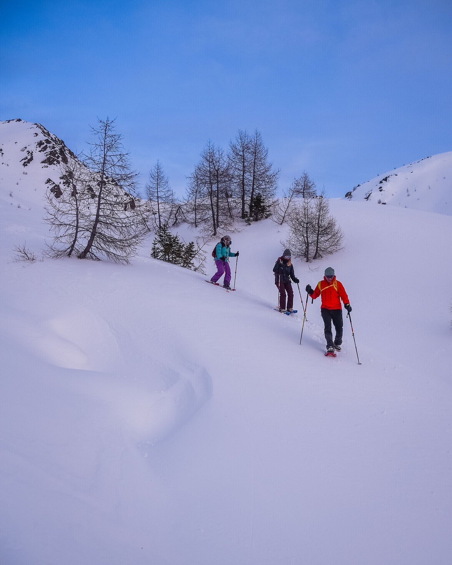
The starting point for this snowshoe hike is the Kreuzberg Pass (1,636 m). From here, follow winter hiking trail no. 131 towards Klammbachalm / Nemesalm / Stiergarten. The wide, rolled forest path leads gently uphill through the winter forest in several curves. After a while, you will reach a signpost where you continue to follow trail no. 131 towards Nemesalm and Seikofel.
The groomed forest trail climbs at a comfortable gradient and offers beautiful views of the snow-covered landscape and the surrounding peaks. You will encounter several forks in the path, but always stay on trail no. 131 towards Seikofel mountain. After about 2.5 km, you will reach another fork. Here, a narrow, unprepared path branches off to the left into the forest – this marks the beginning of the actual ascent to Seikofel mountain.
This section involves an ascent of around 900 m through the forest on snowshoes. After about 30 minutes, you will reach the wayside cross on the Seikofel (1,908 m), which offers a magnificent view of the Sexten sundial and the surrounding Dolomite peaks.
The descent follows the same route back to the Kreuzberg Pass. Alternatively, the tour can be extended by continuing on trail no. 132 towards Saumahd (1,828 m) and then descending either to the Klammbachalm (1,944 m) or to Moos (1,346 m).